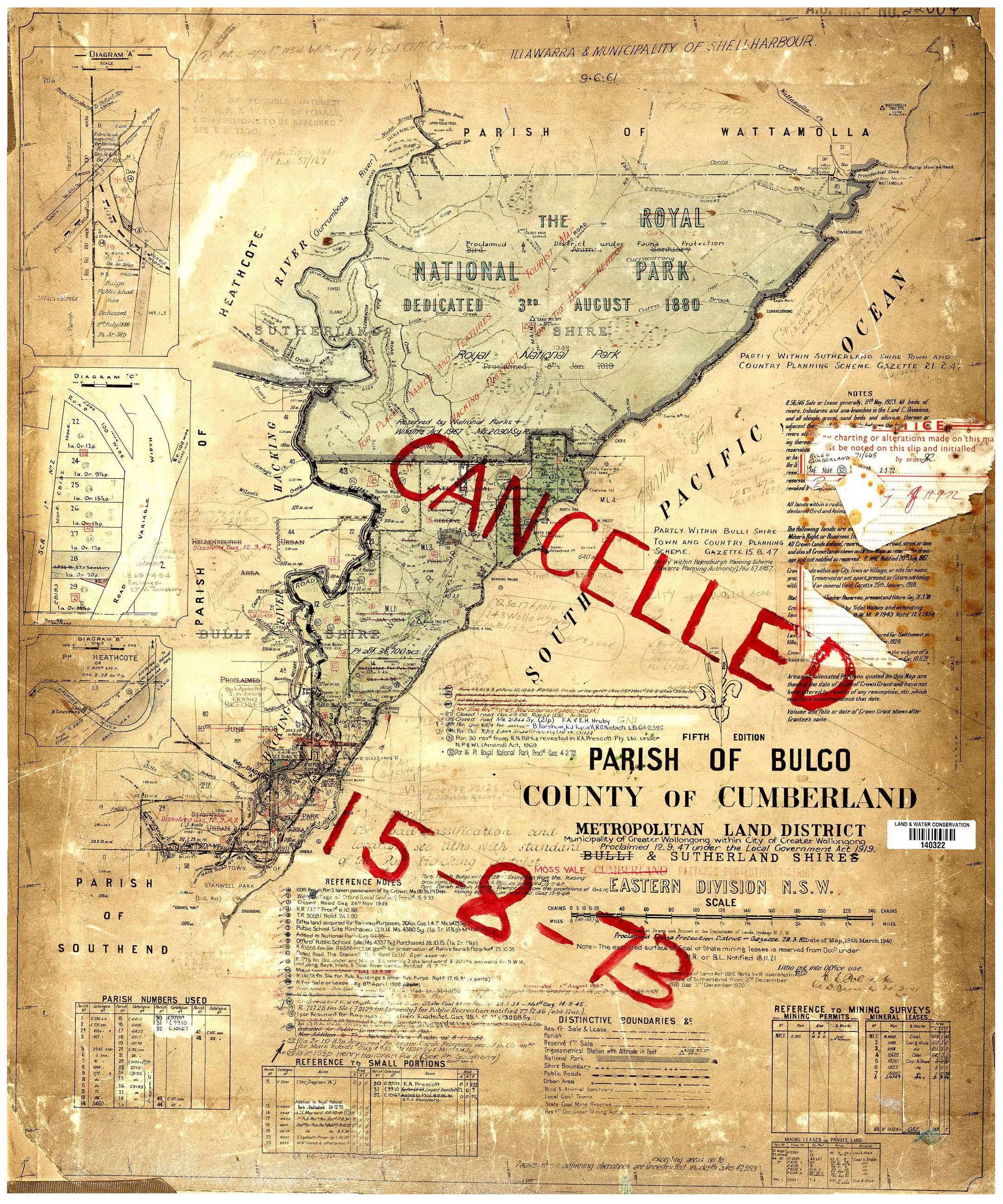
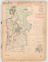
Bulgo Parish
1925 |
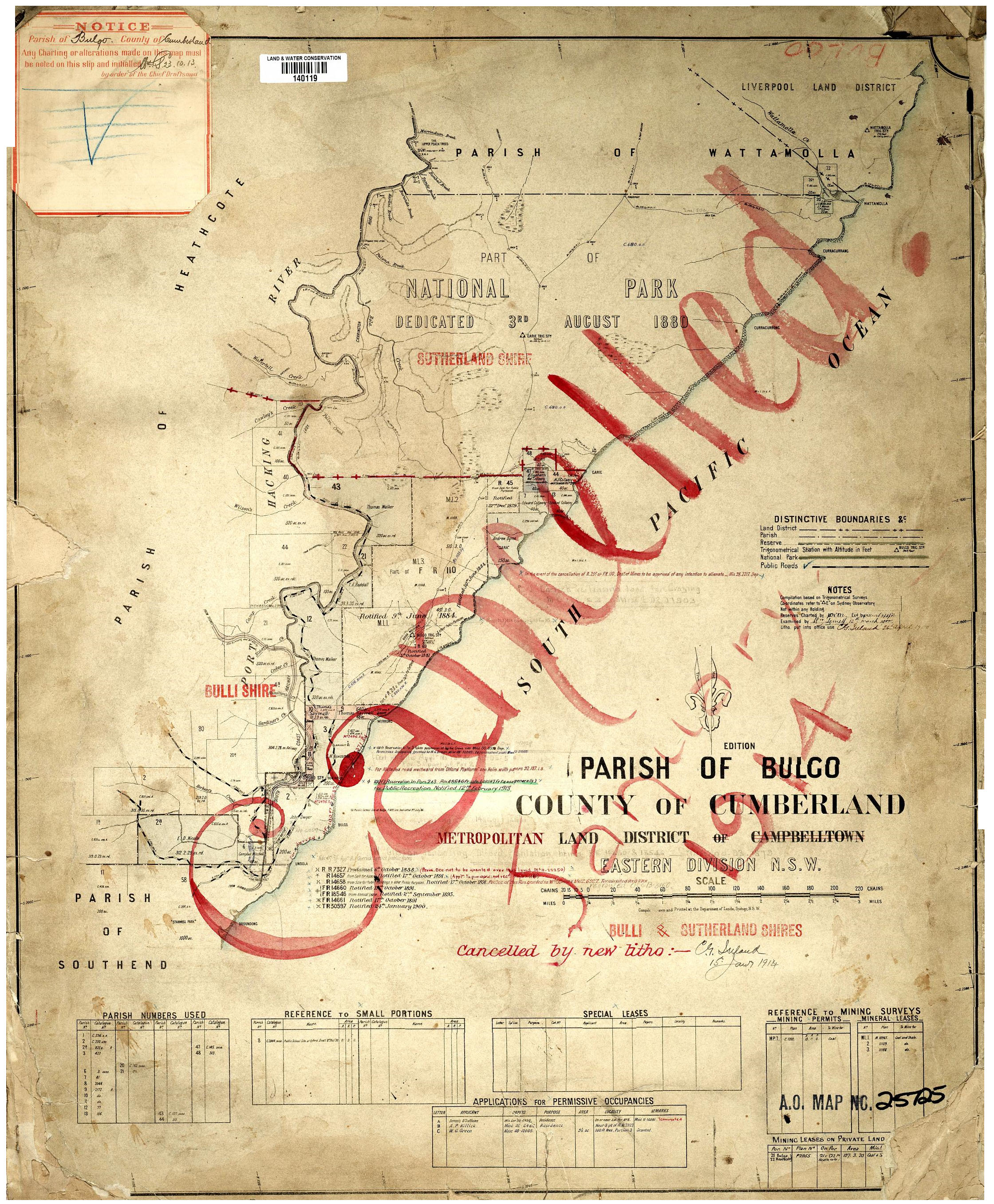
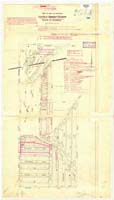
Bulgo Parish
1900
|
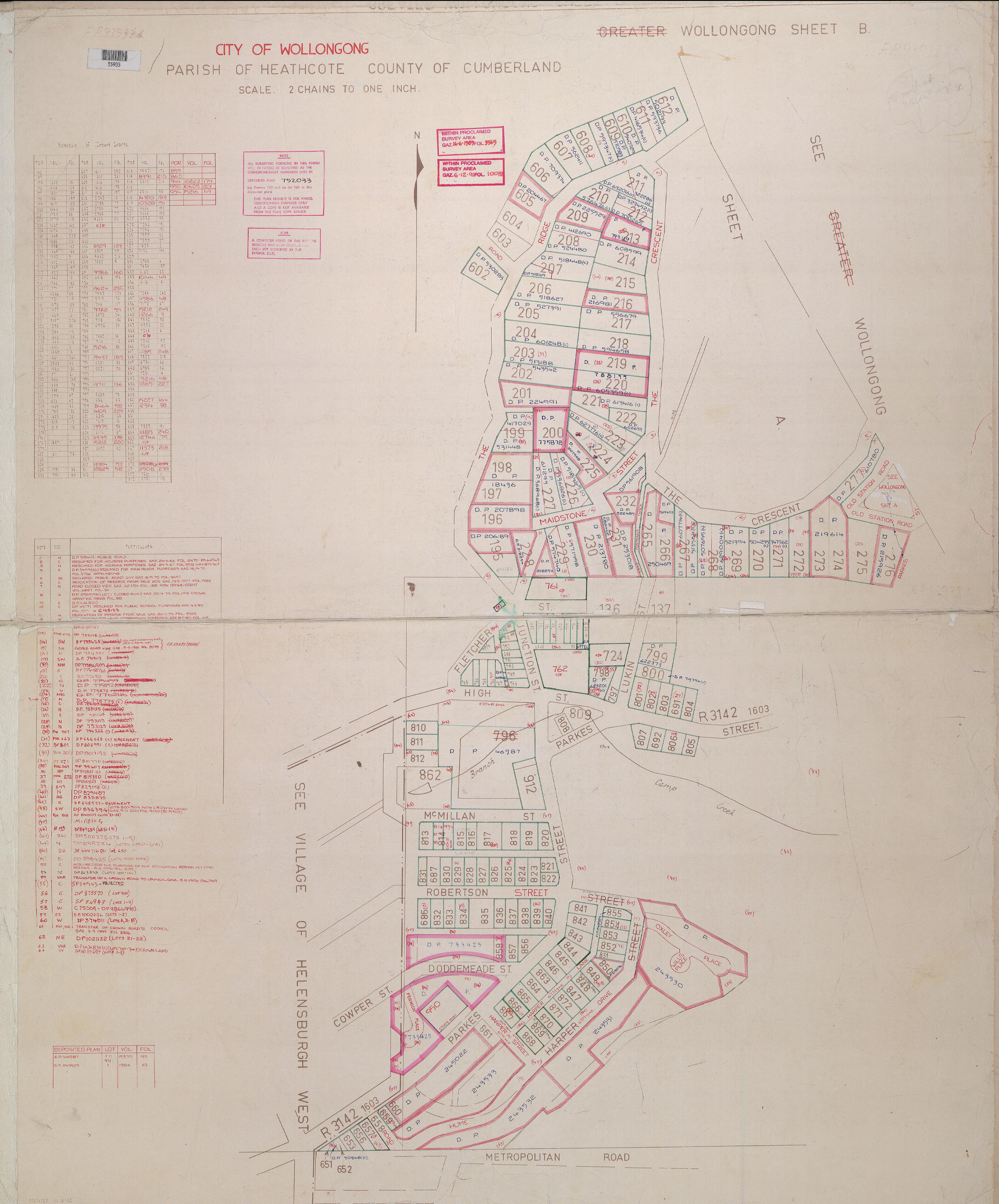
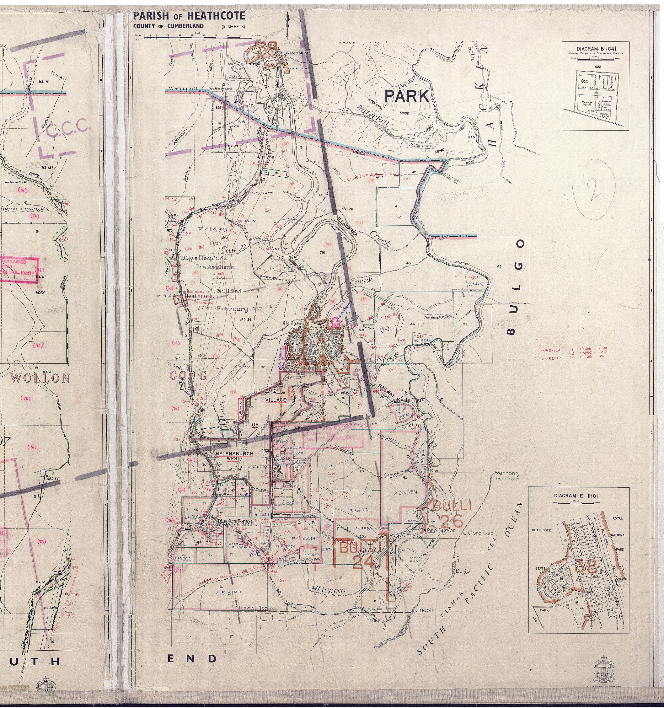
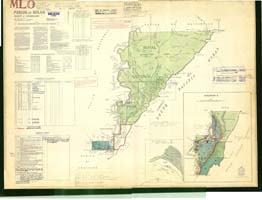
Heathcote Parish TabratongCumberland County - wollongong Map B |
Bulg Parish mao |
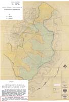
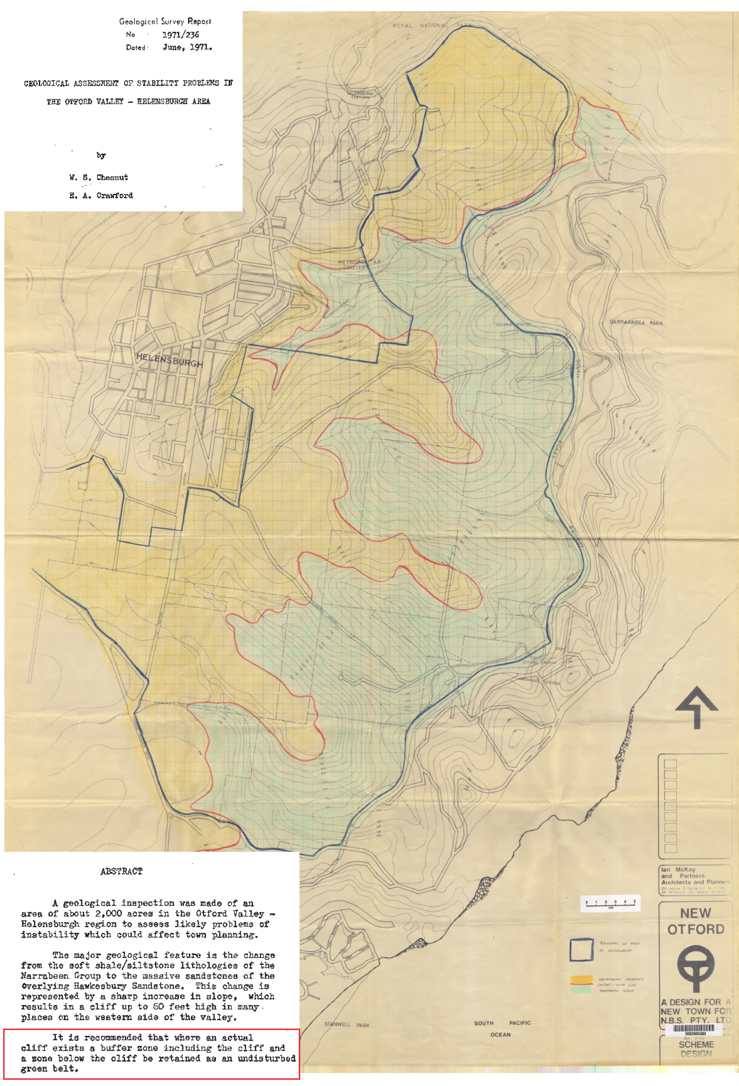
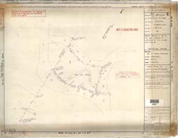
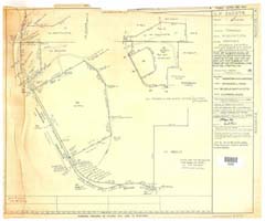
1971 Mining Geotech survey map showing potential landslip around Helensburgh over Otford, & necessary bushland buffer |
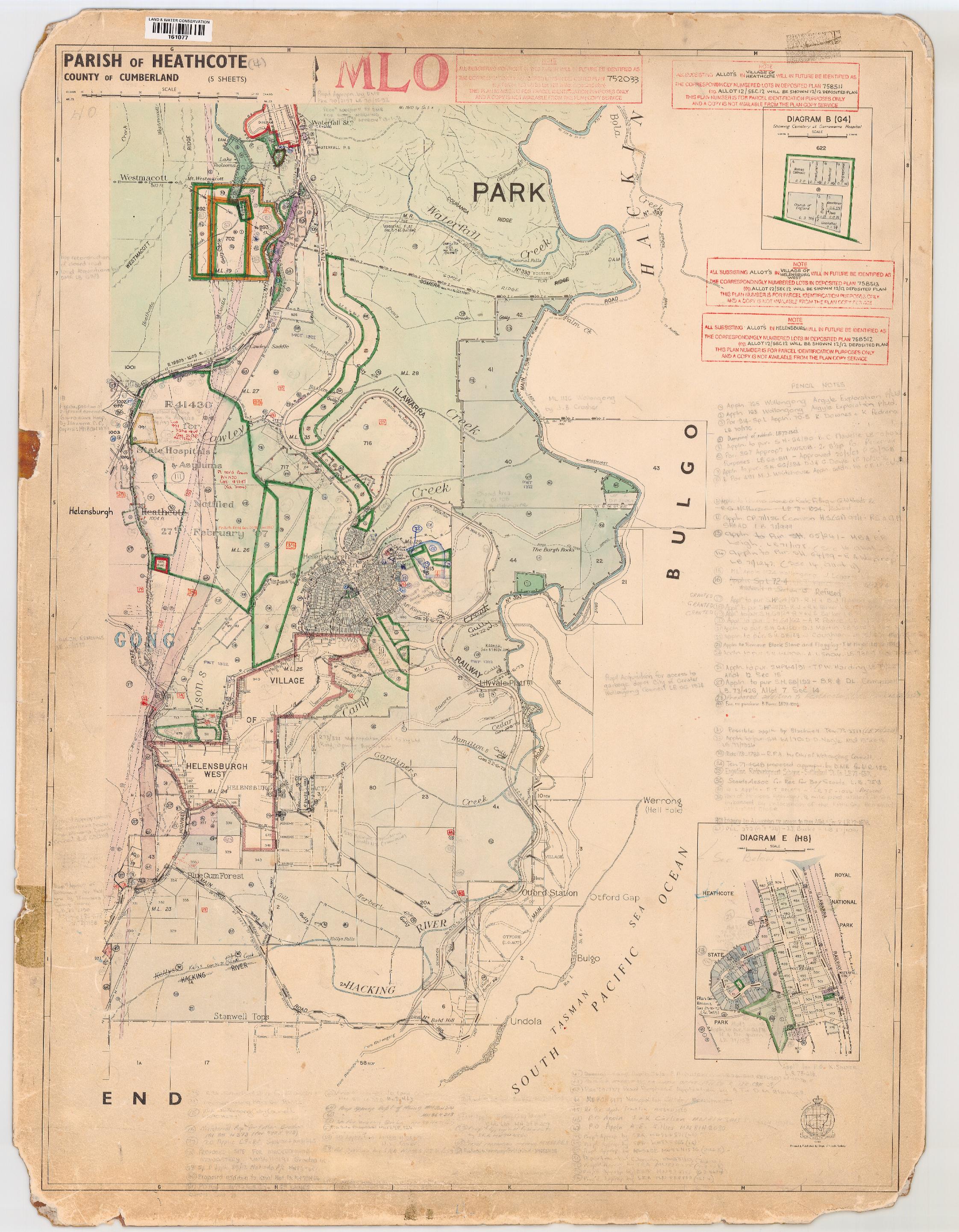
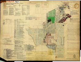
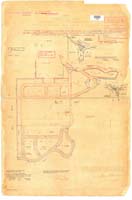
1890 Heathcote Parish Map
|
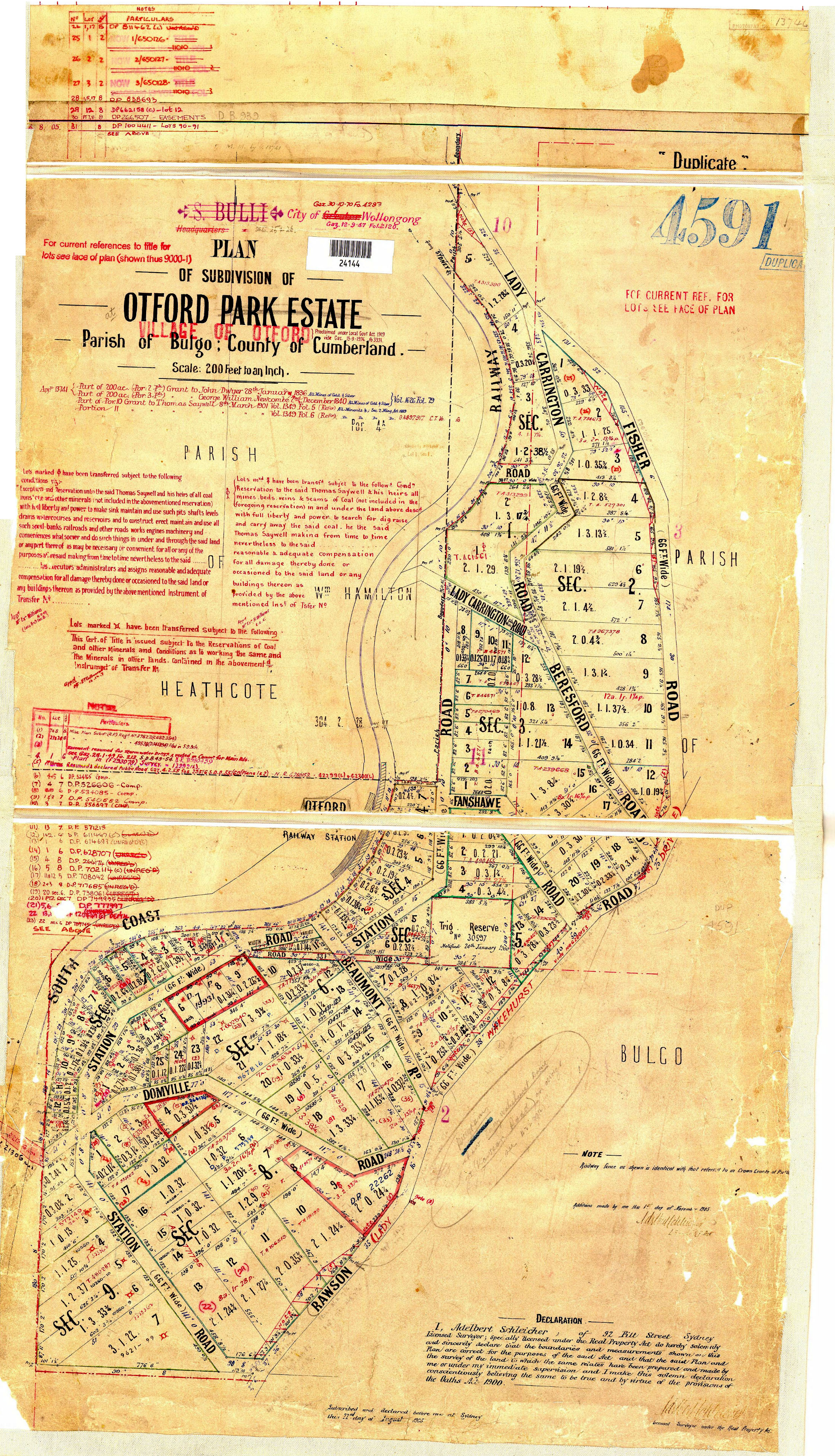
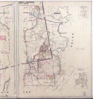
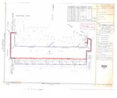
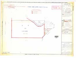
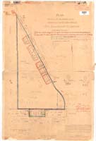
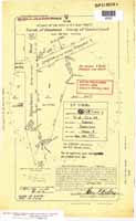
DP4591 Otford Park
|
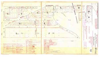
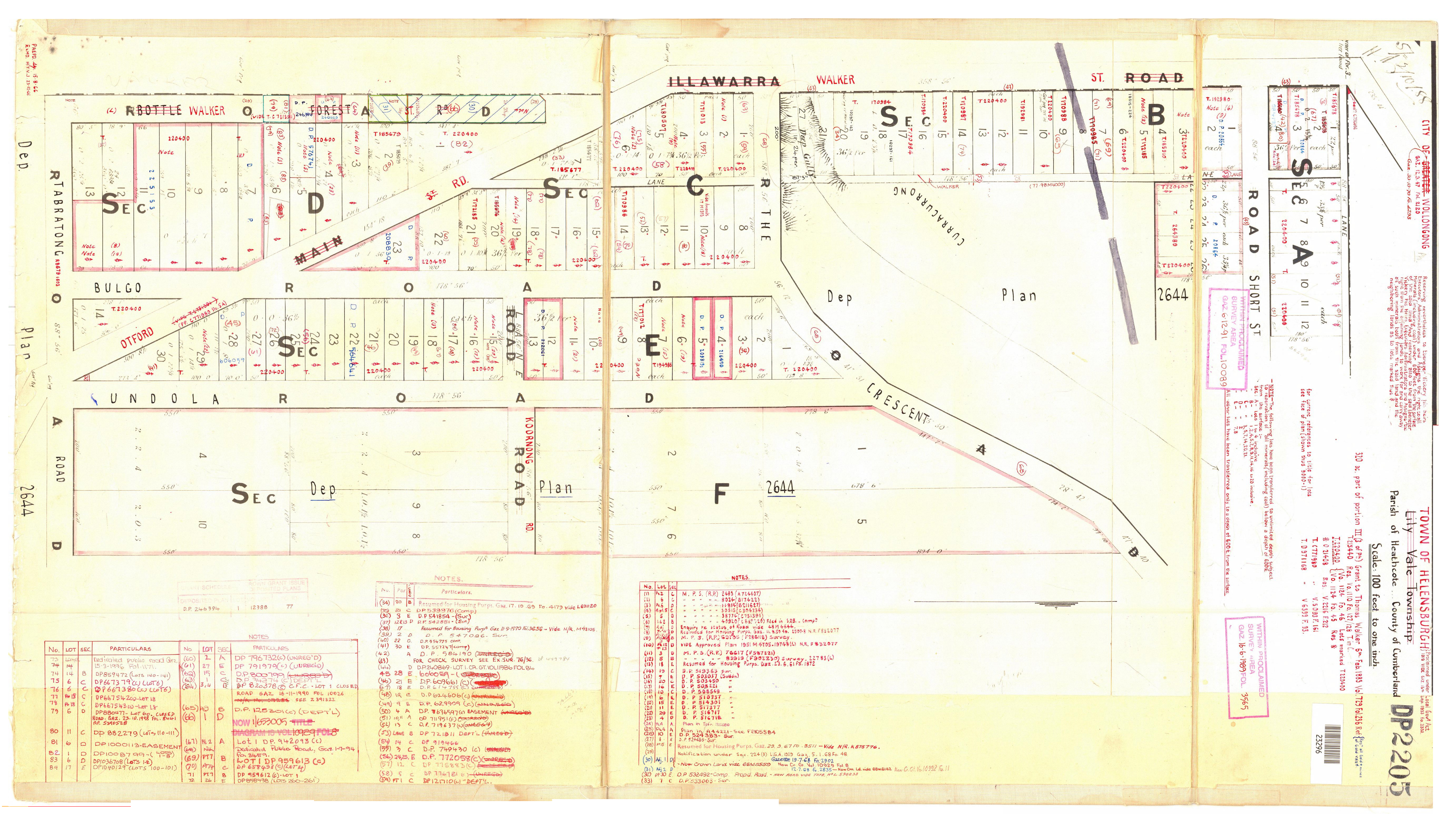
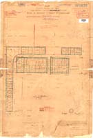
DP 2205 ShortSt TheCrescent |
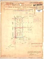
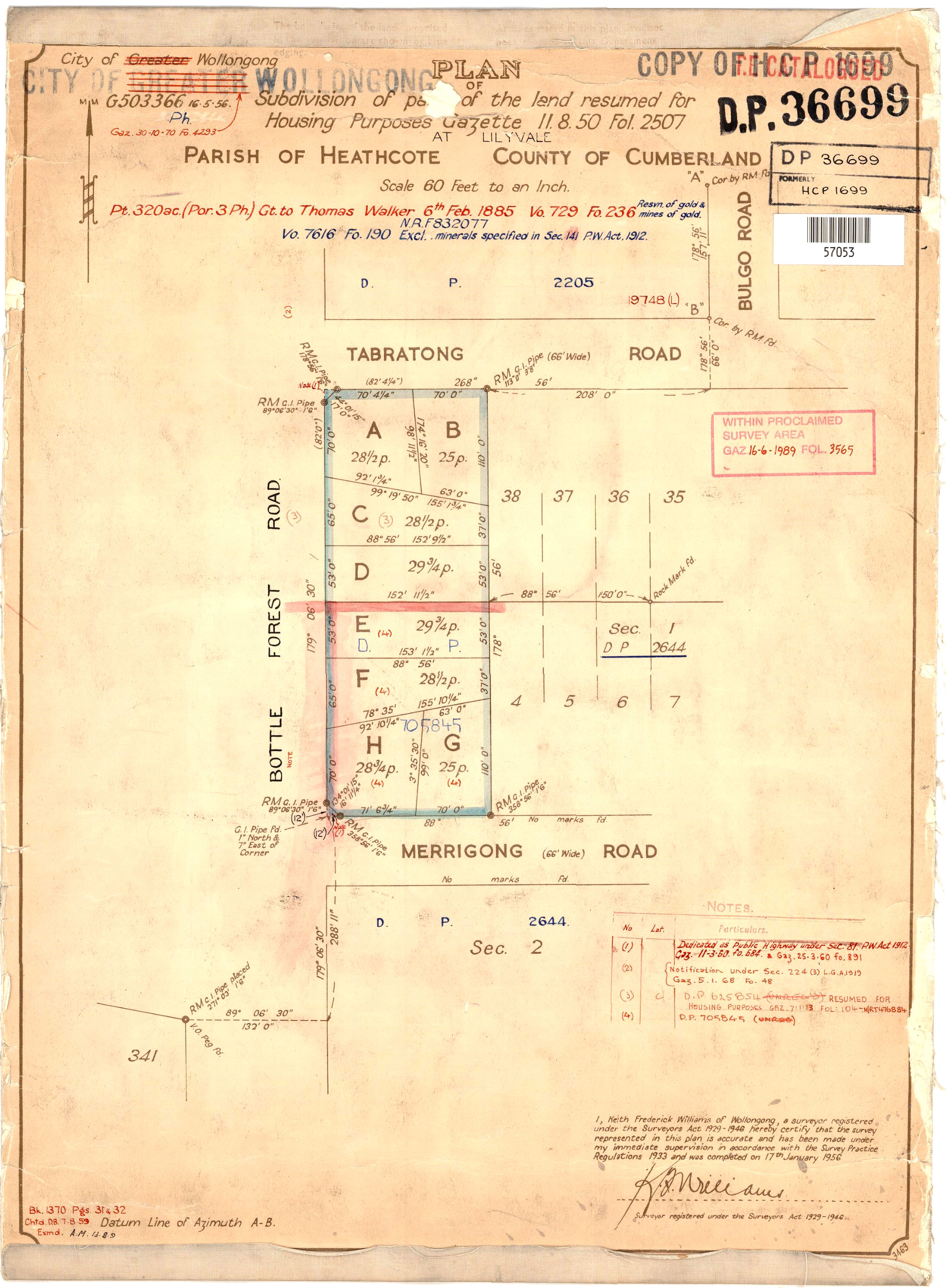
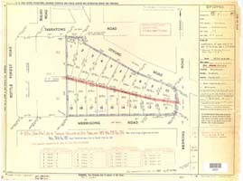
DP36699 Tabratong |
DP33693 on Heathcote Parish Map
|
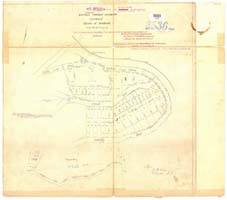
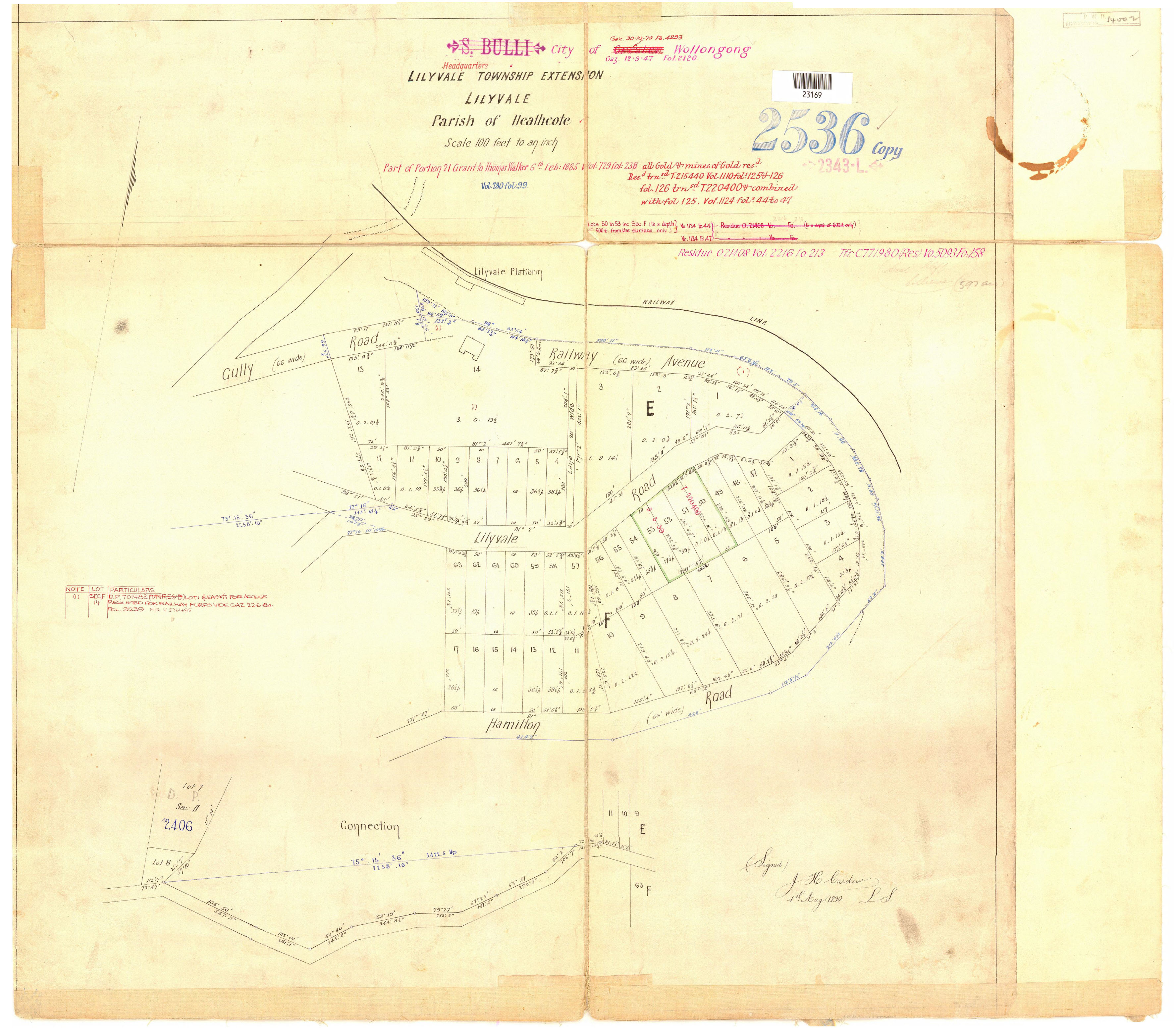
DP2536 LilyVale Station Walker map
|
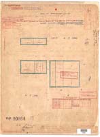
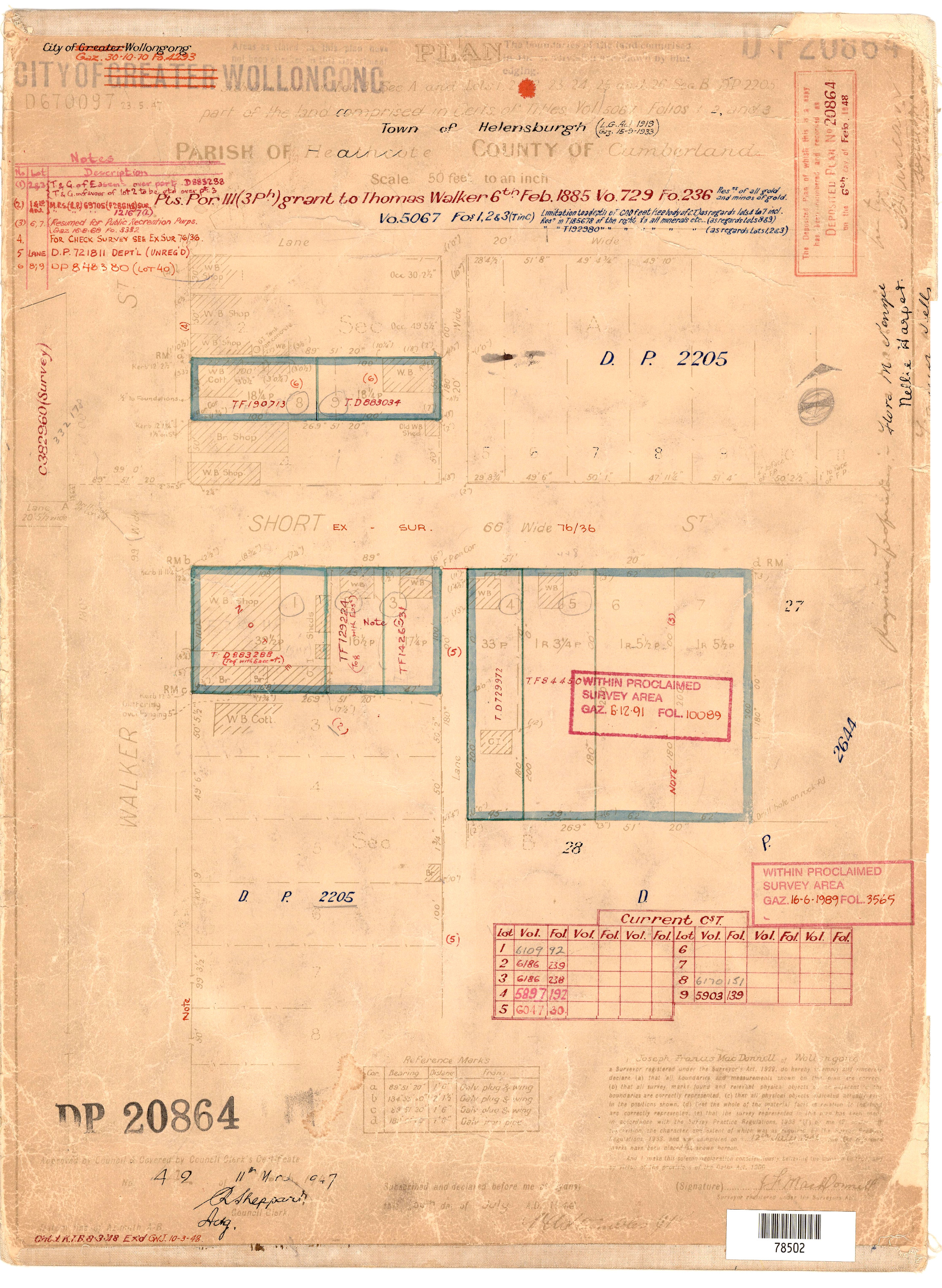
DP20864 Short St Vol729Fol236
|
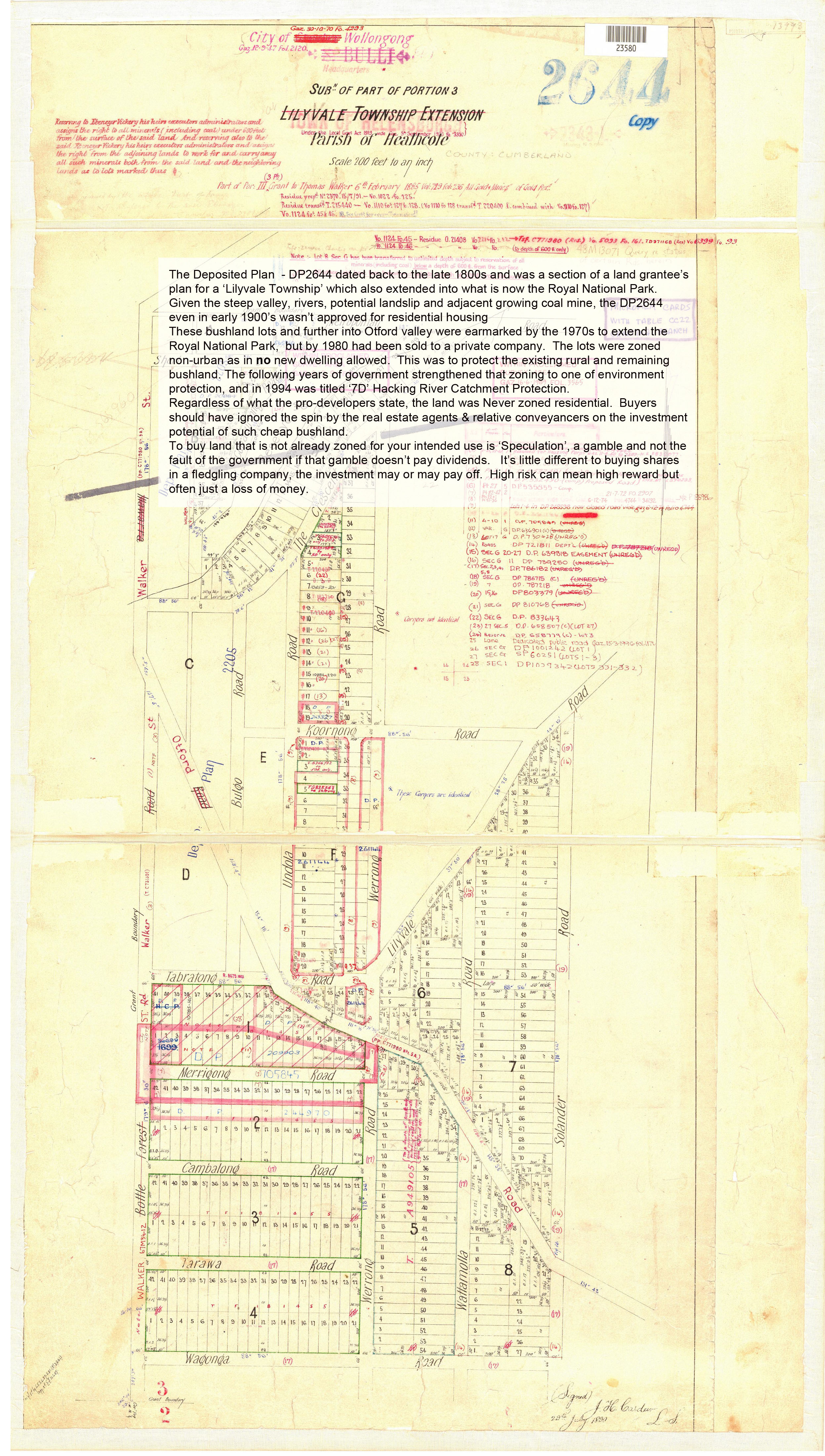
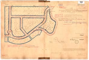
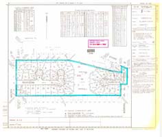
DP2644 Lilyvale Town in Helensburgh
|
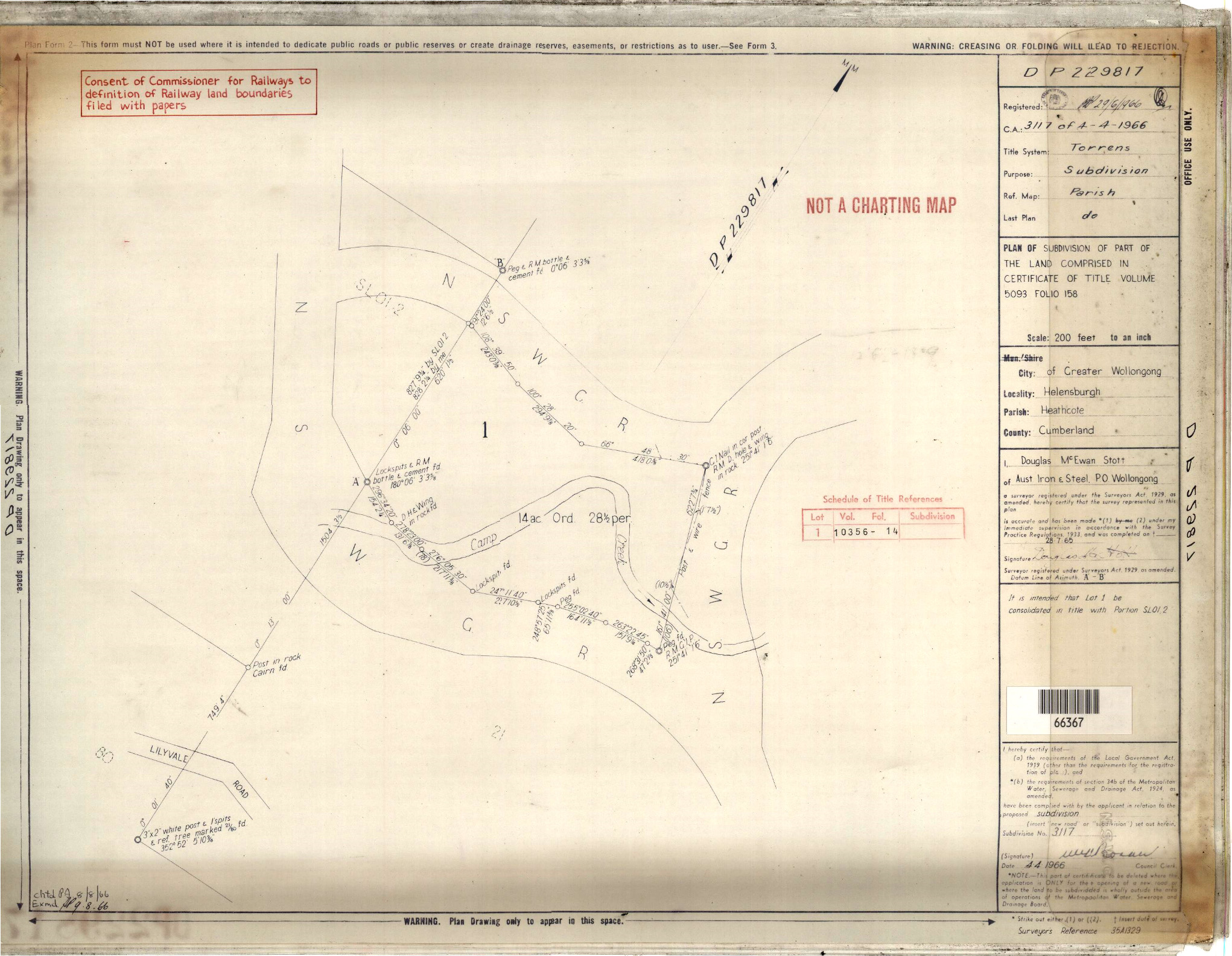
DP 229817 Camp creek over coal mine |
Mining Lease 1976 |
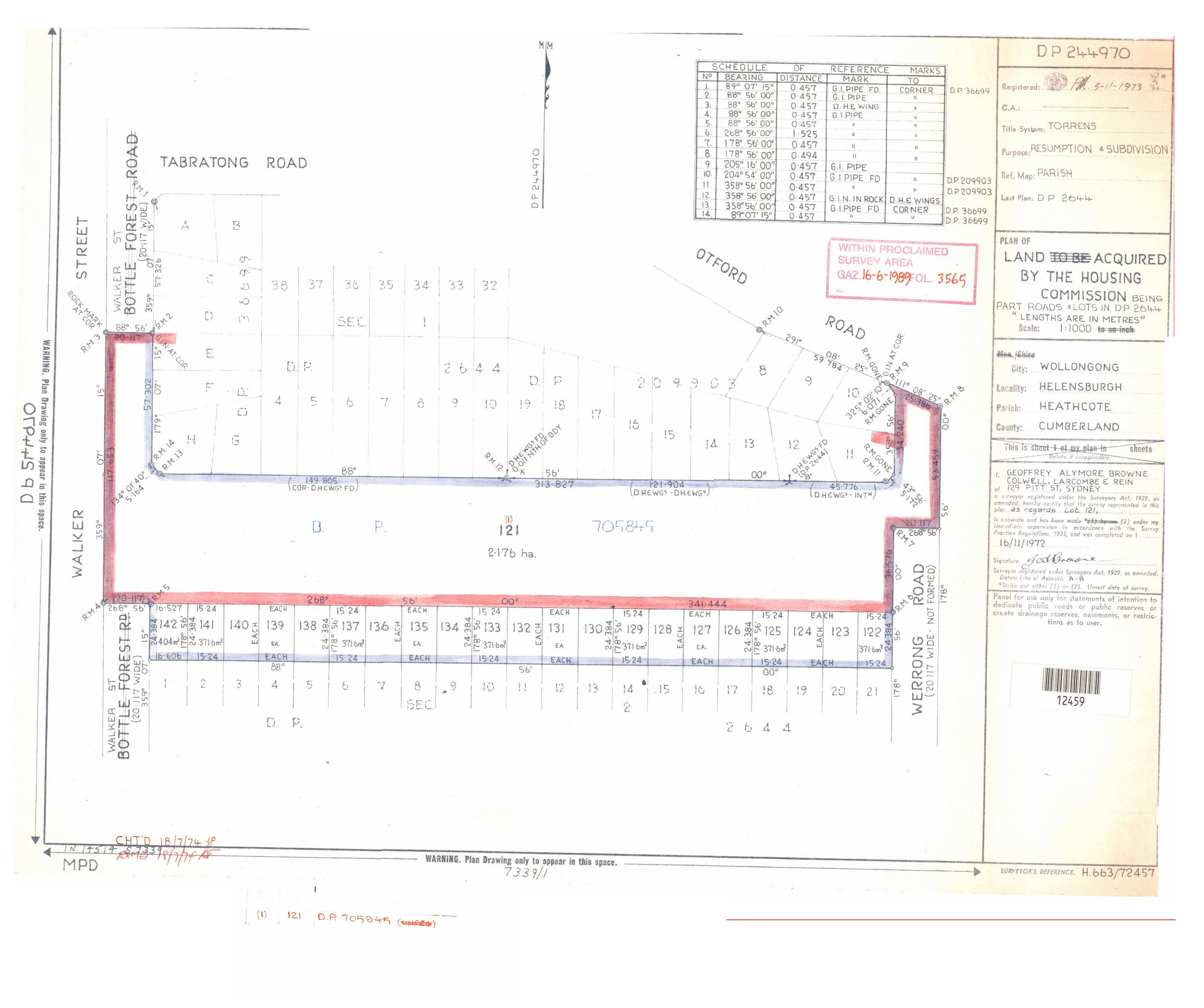
DP2244970 Housing Otford Rd |
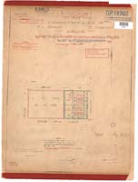
DP19362
Coniston Gardens
Stanwell Tops |
DP759059 Notes |
DP2043122 Crown Land Rd Mine
|
DP 209903 BulgoRd |
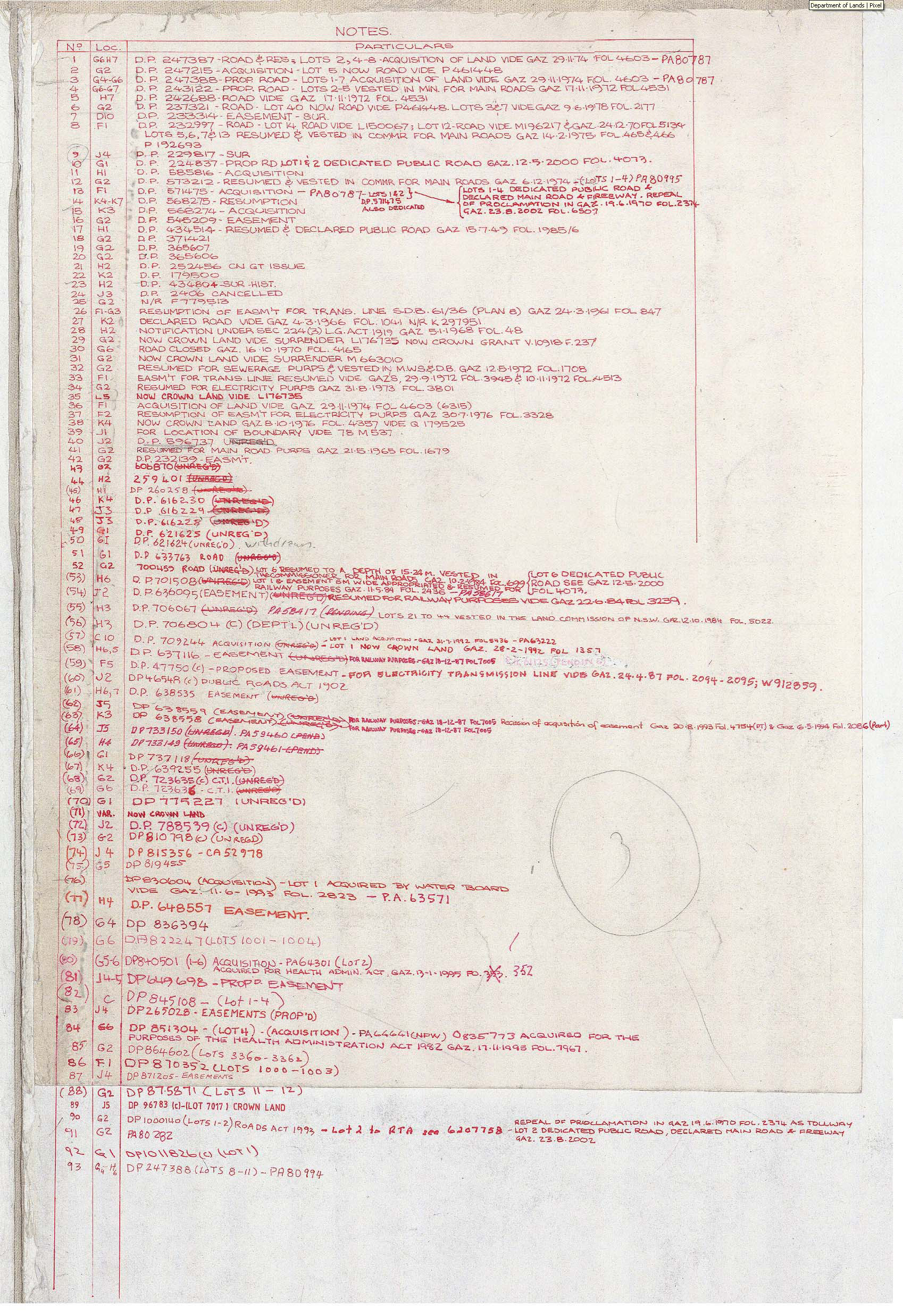
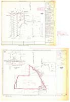
Heathcote Parish 1976 Plan Notes |
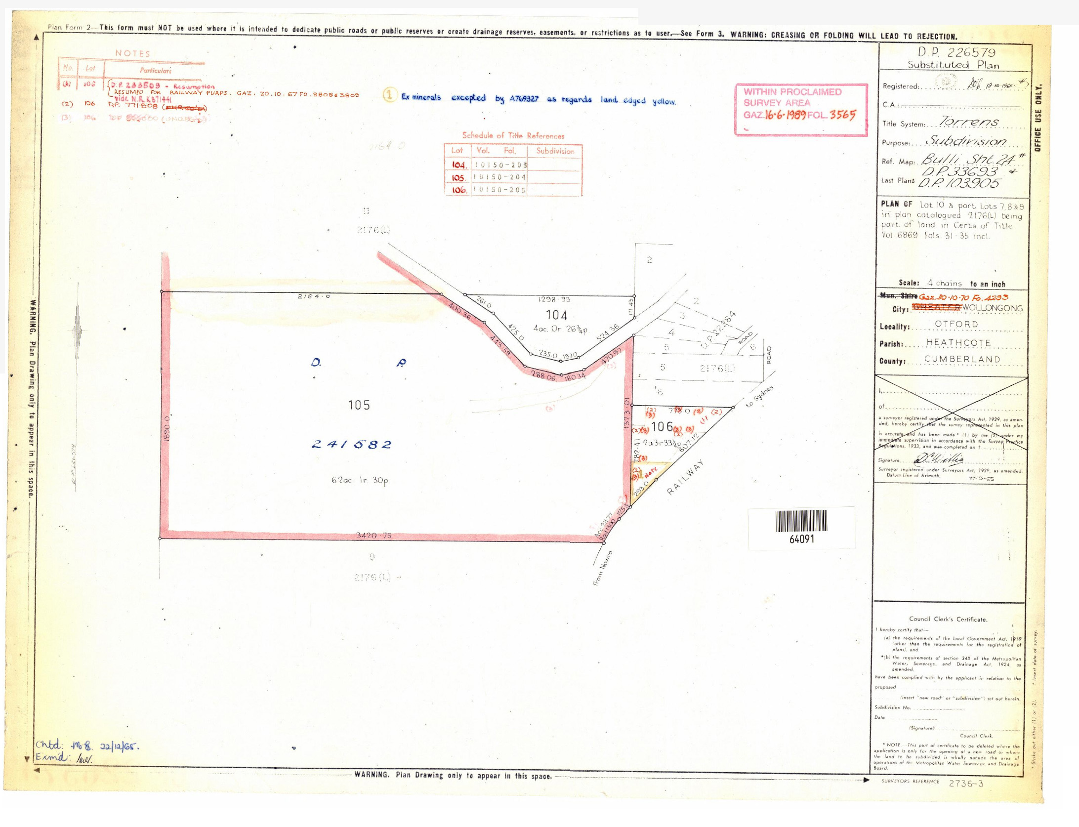
DP226579 |
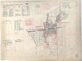
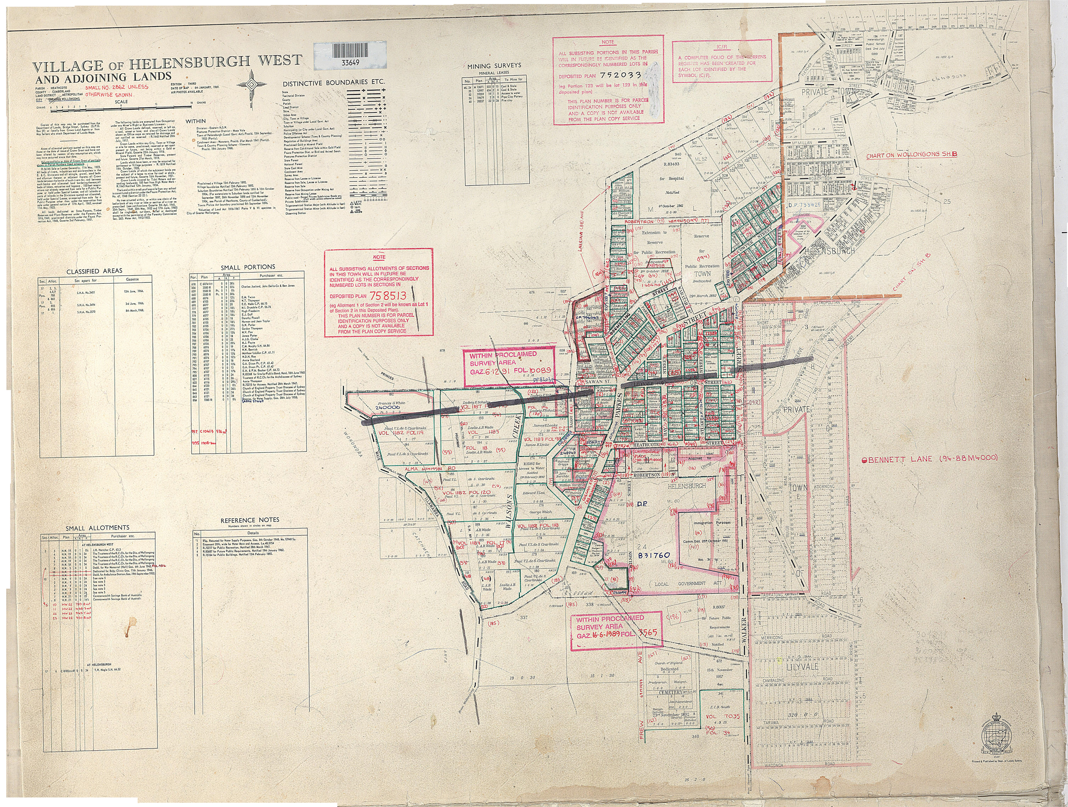
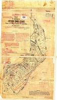
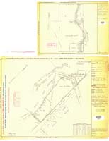
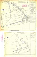
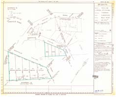
Helensburgh West Map 2 |
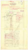
LilyvaletownVol729Fol236
|
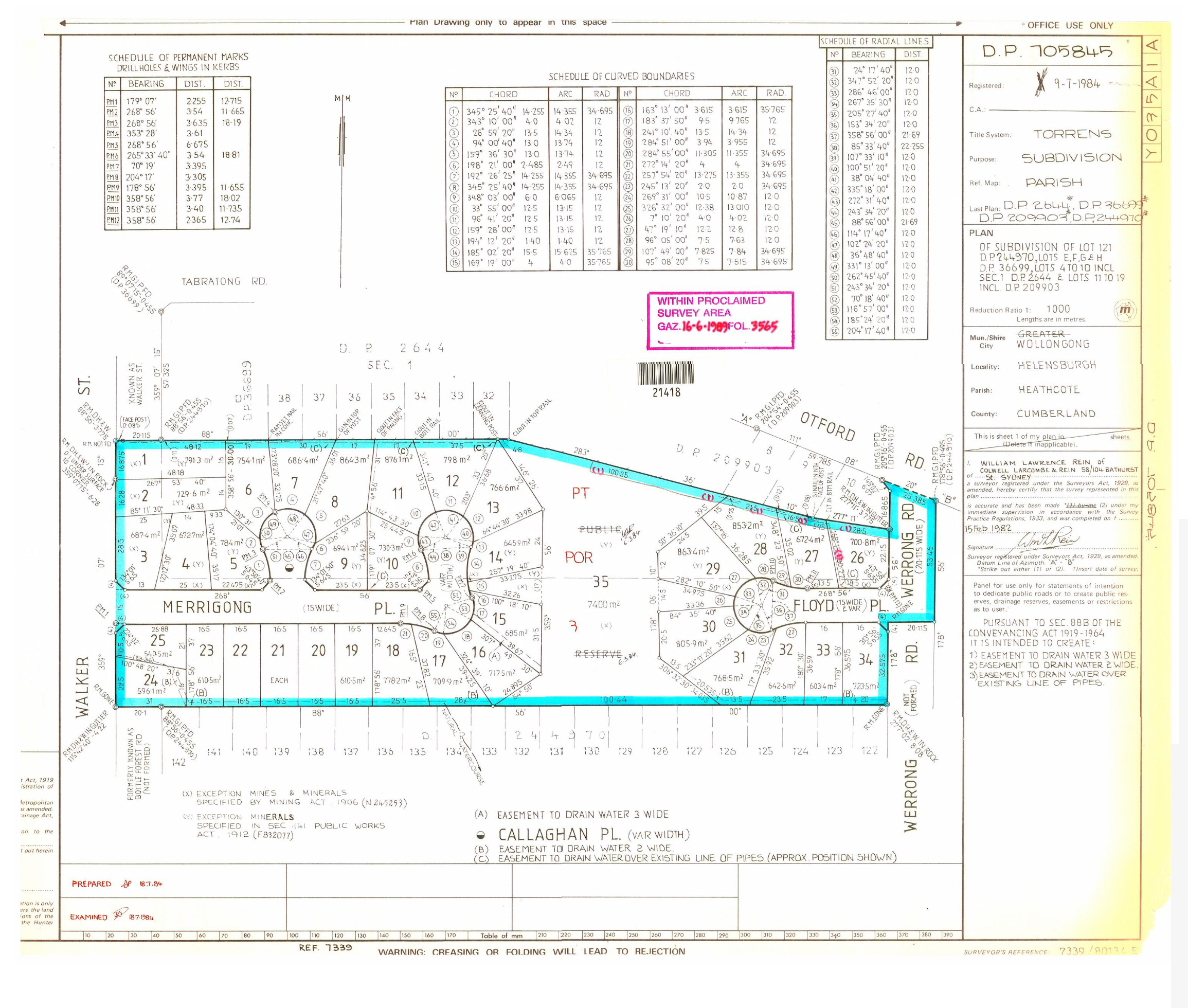
DP705845 Merrigong Werrong |
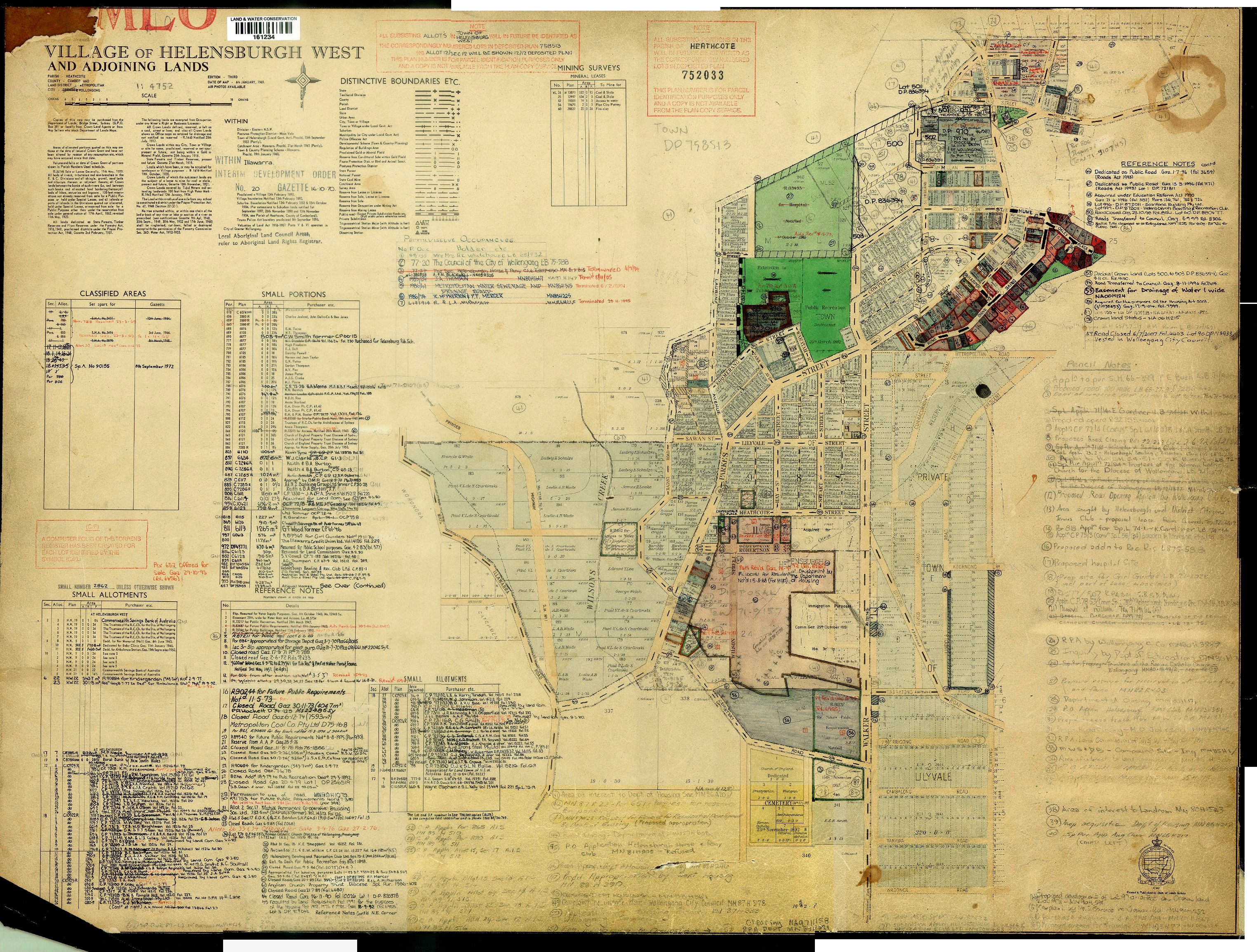
Helensburgh West Map |
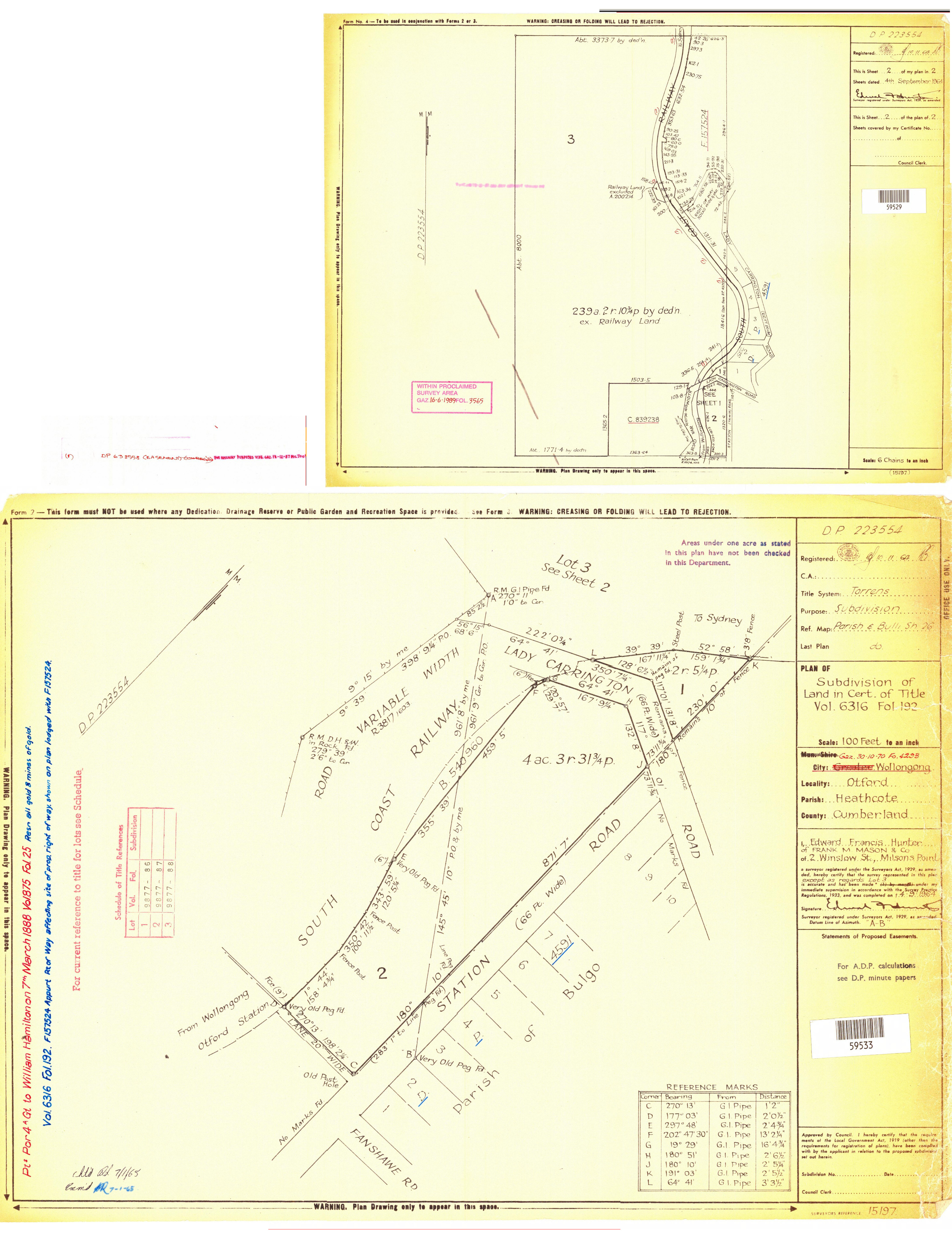
DP223554 Vol6316 Fol192 Lady Carrington drive
|
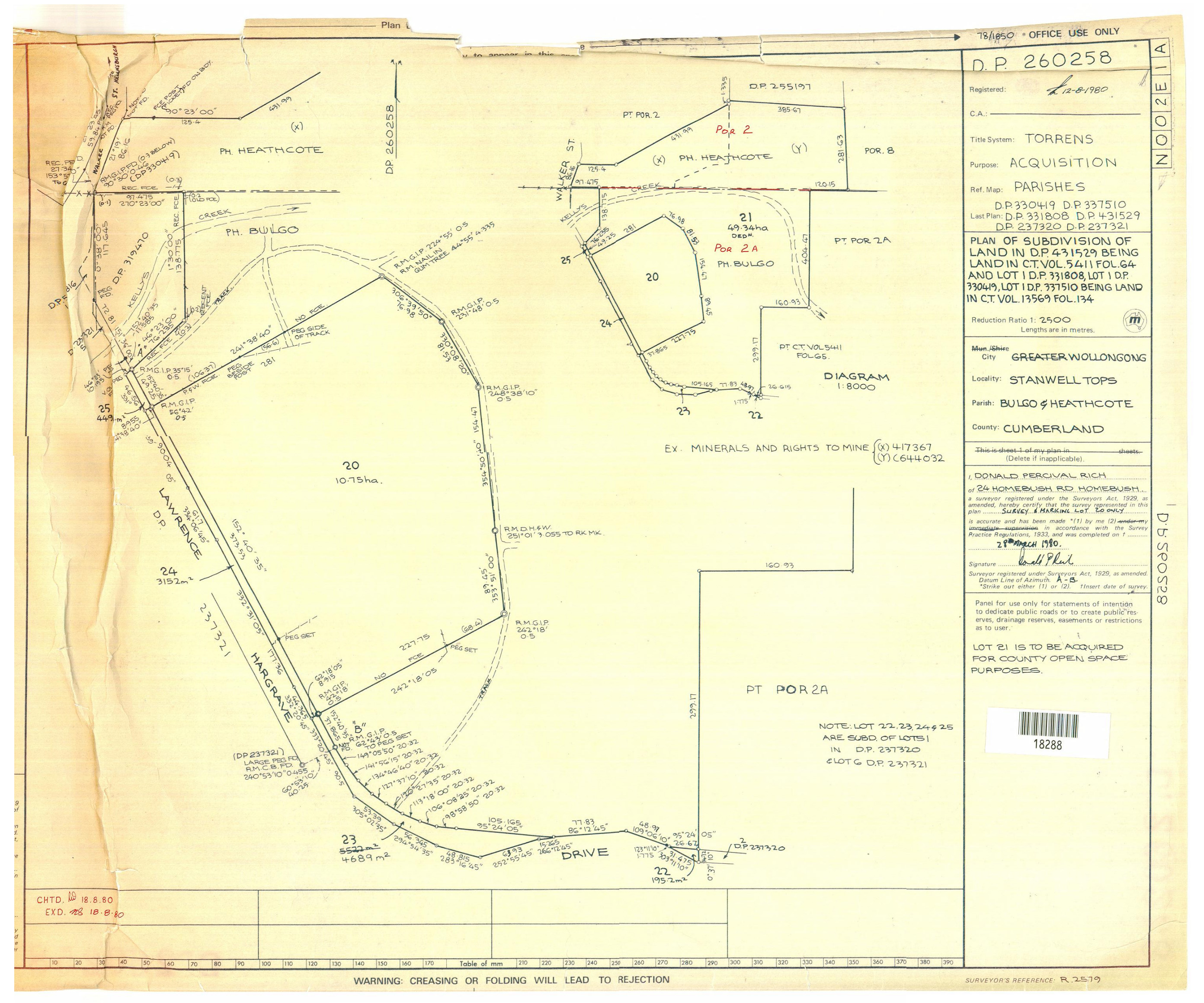
DP 260258 SubDiv Lawrence Hargrave
|
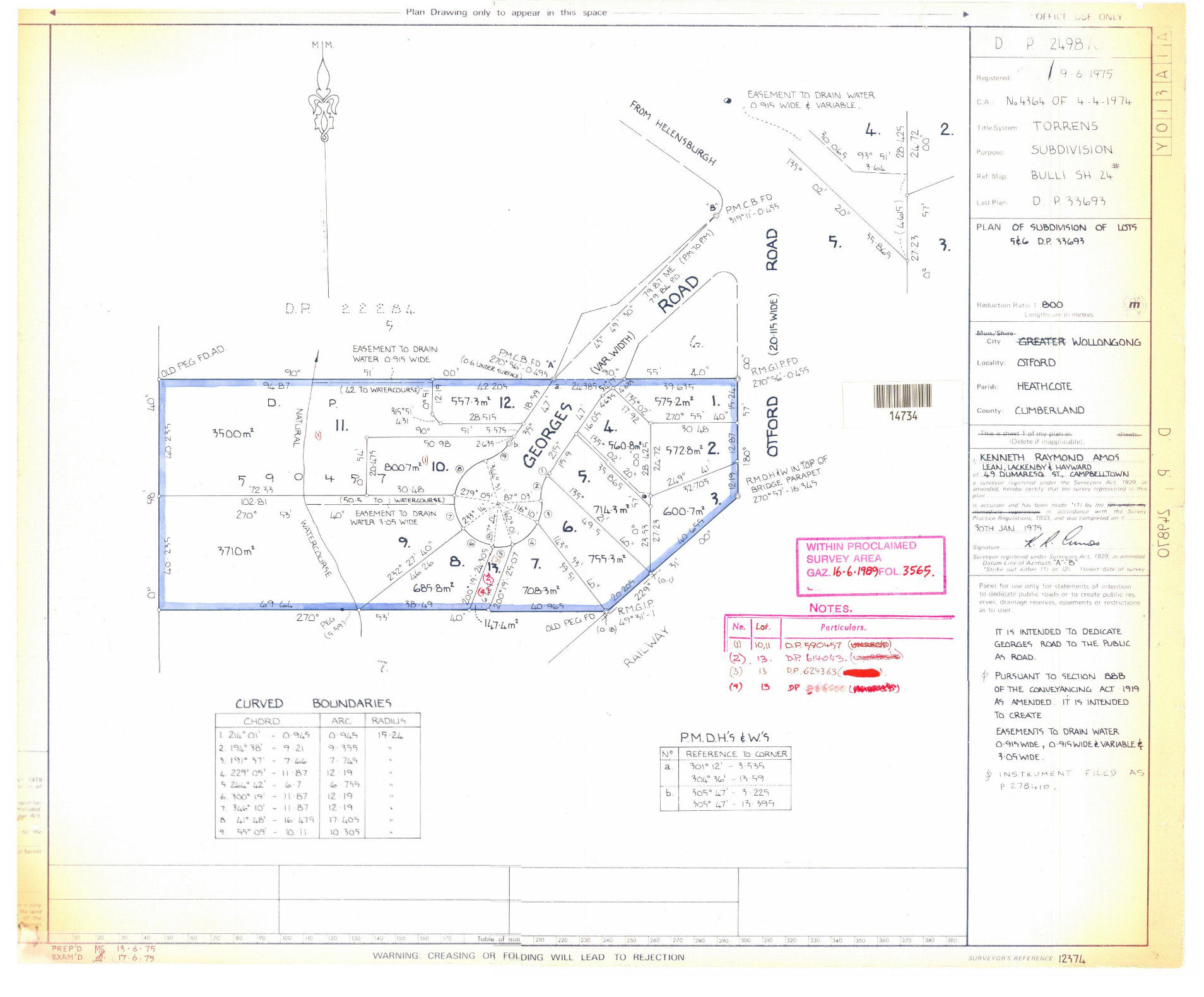
DP 249870 GeorgesRd
|
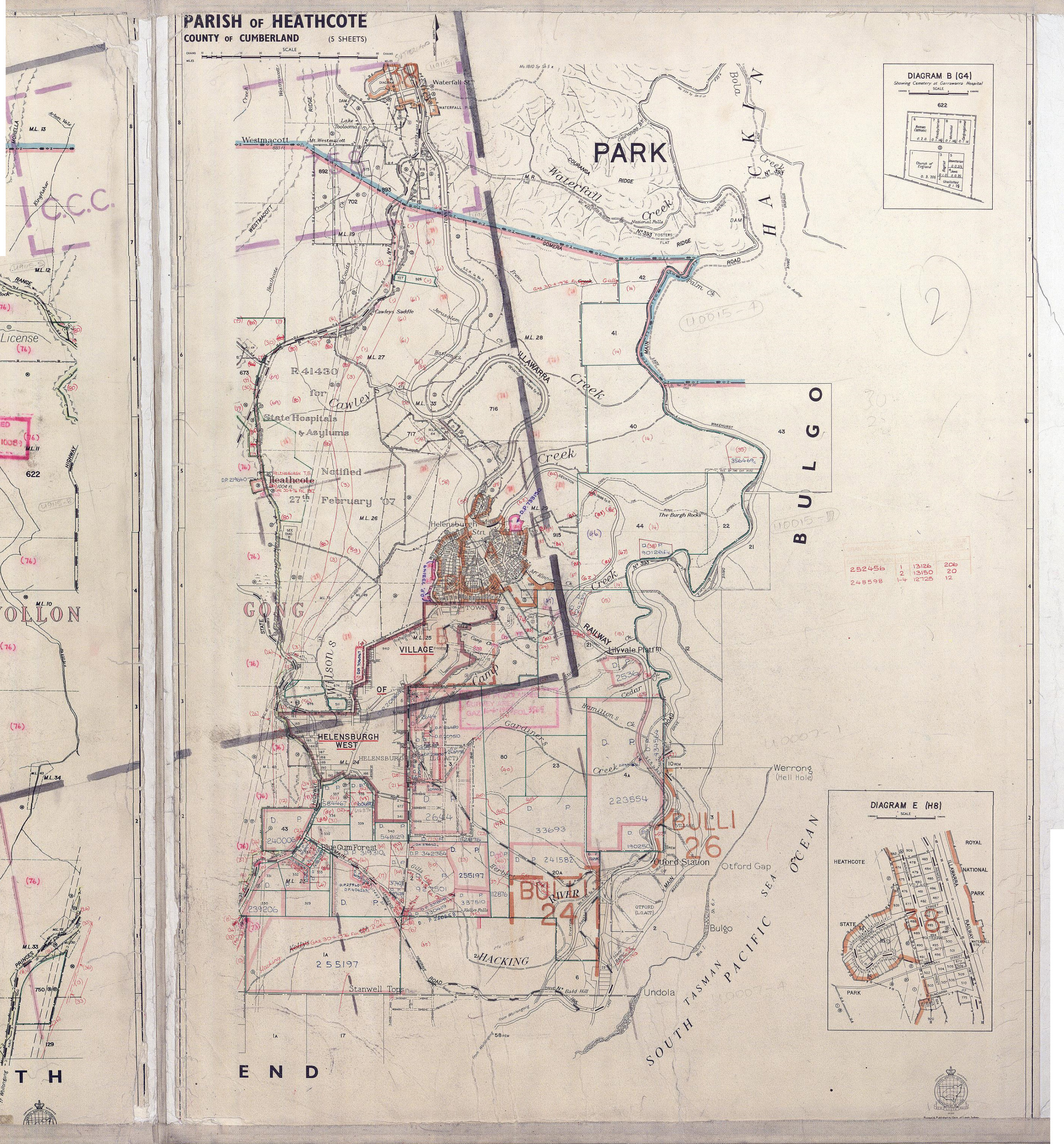
Heaathcote Parish Map |
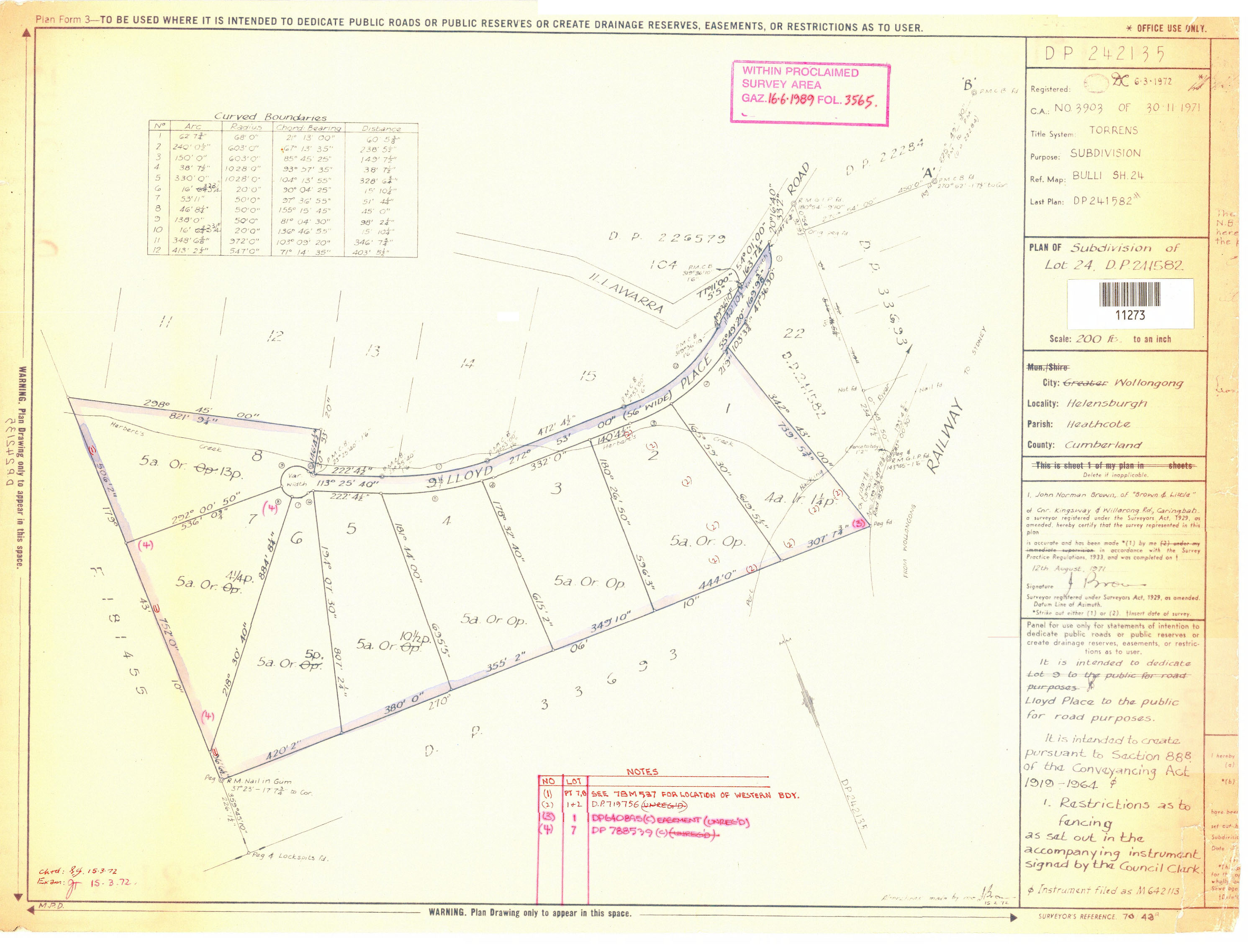
DP242135 Lloyd place |
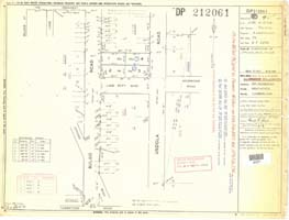
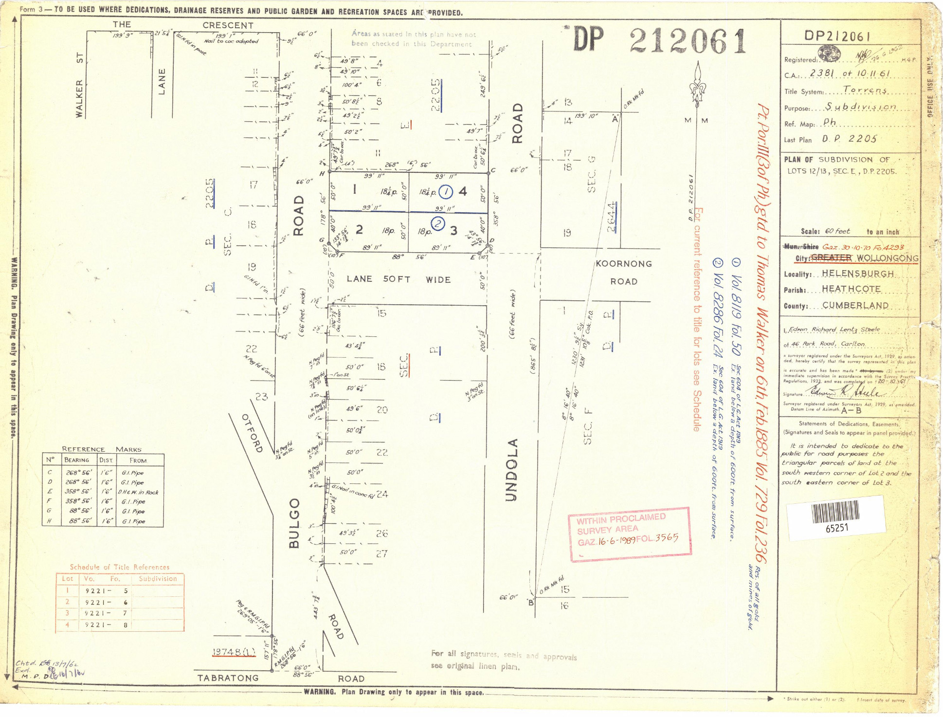
DP 212061 Koornong Vol811 Vol8296 |
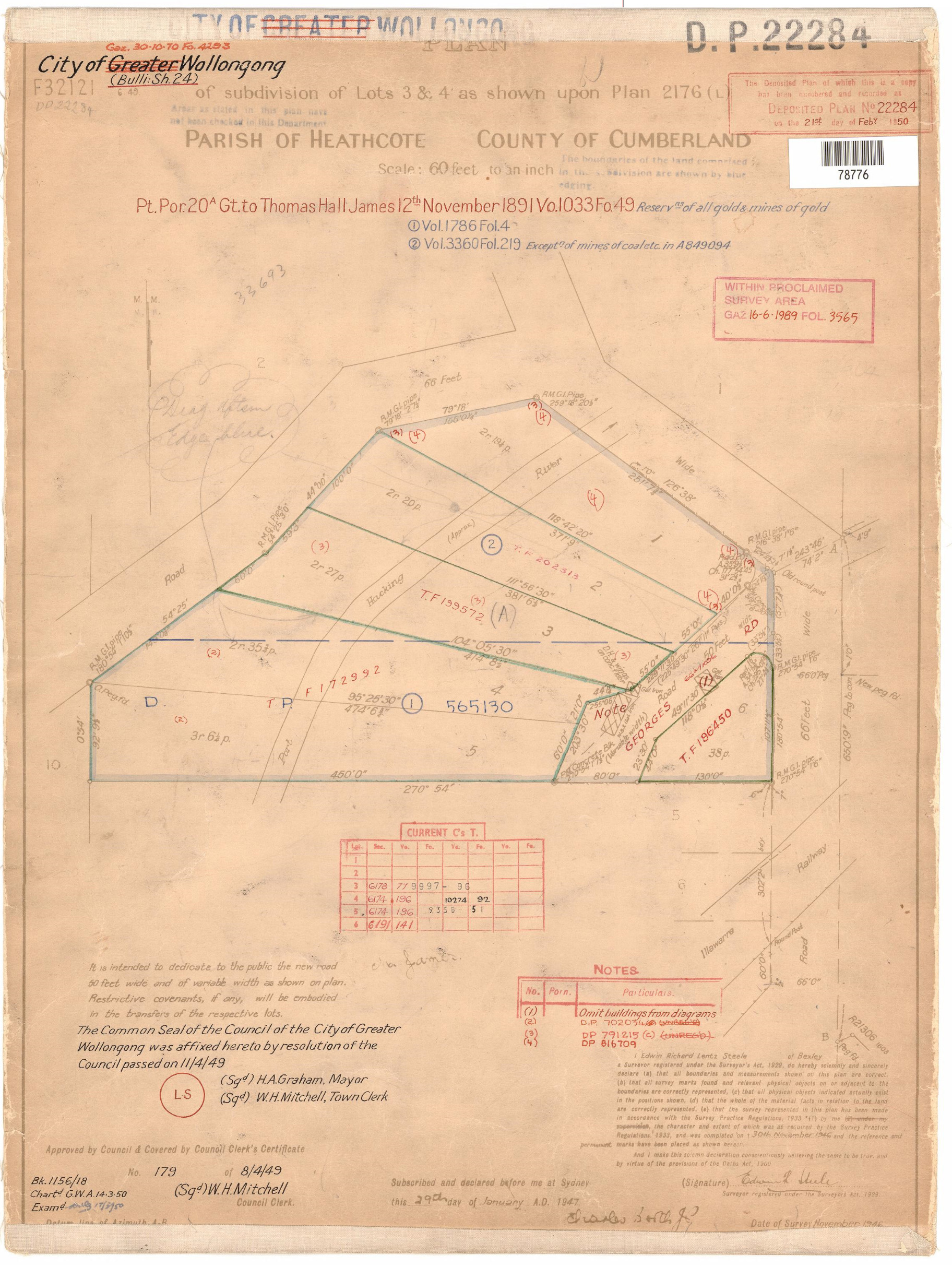
DP22284 |
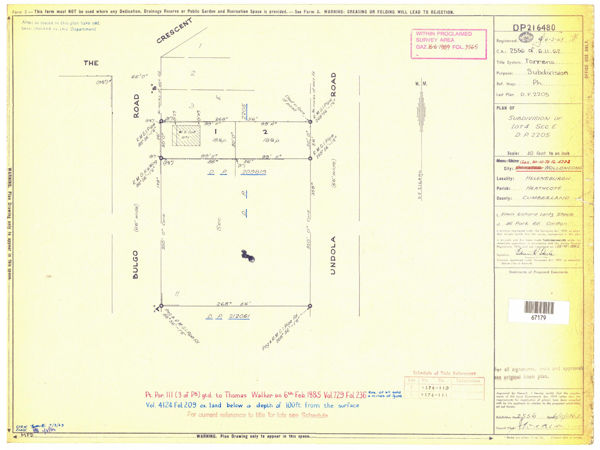
DP216480 Bulgo & Undola |
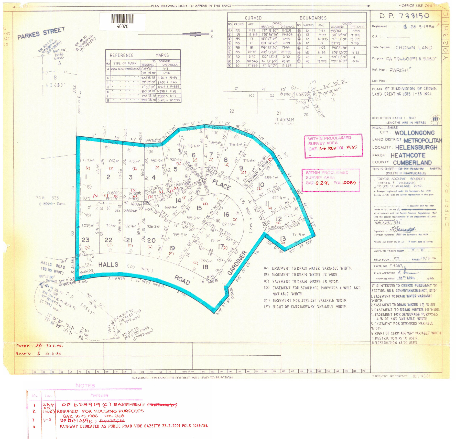
DP 733150 Halls Rd Gardiner Place |
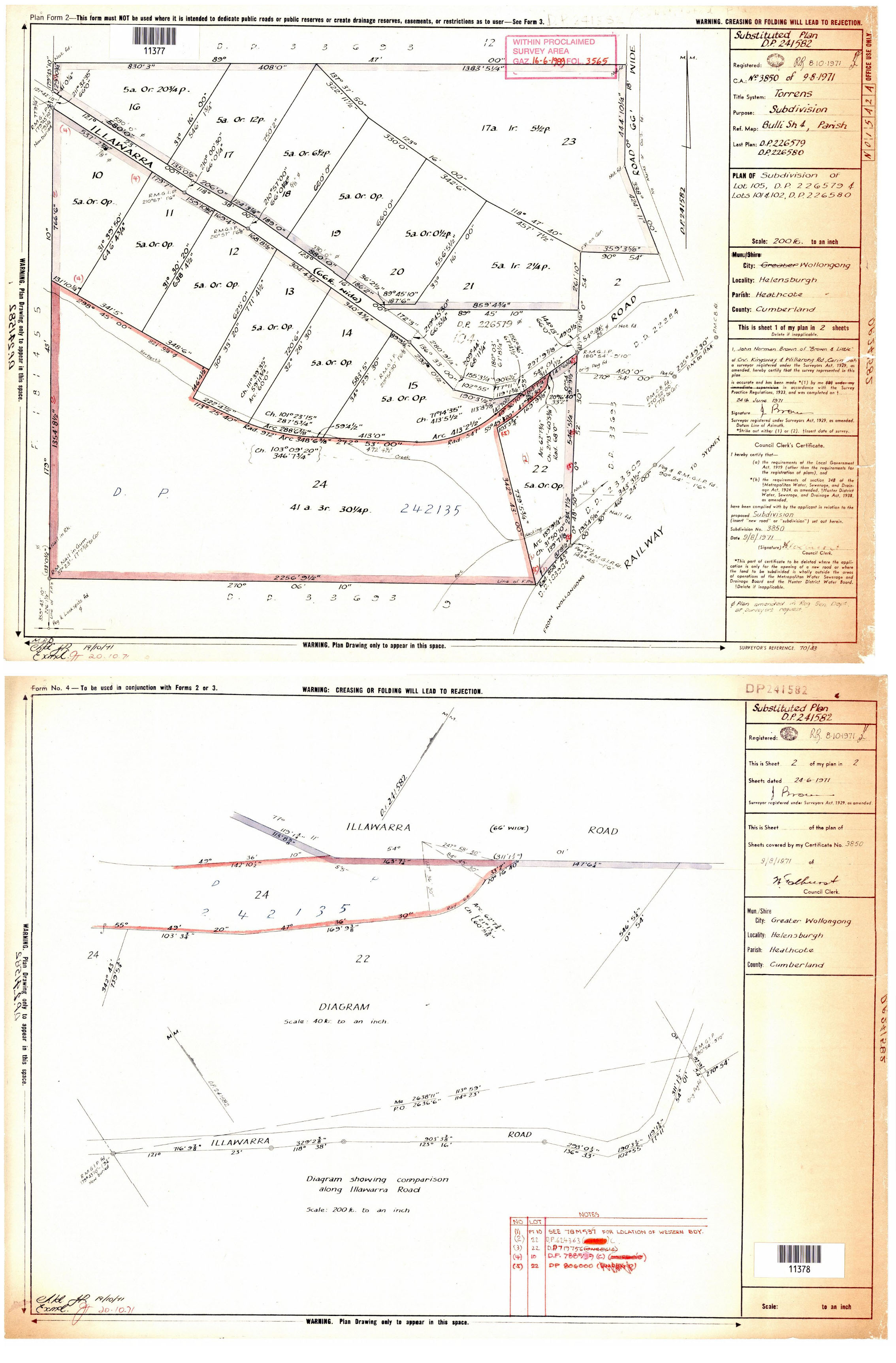
DP241582 Illawarra Rd |
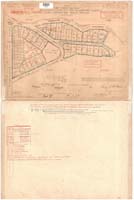
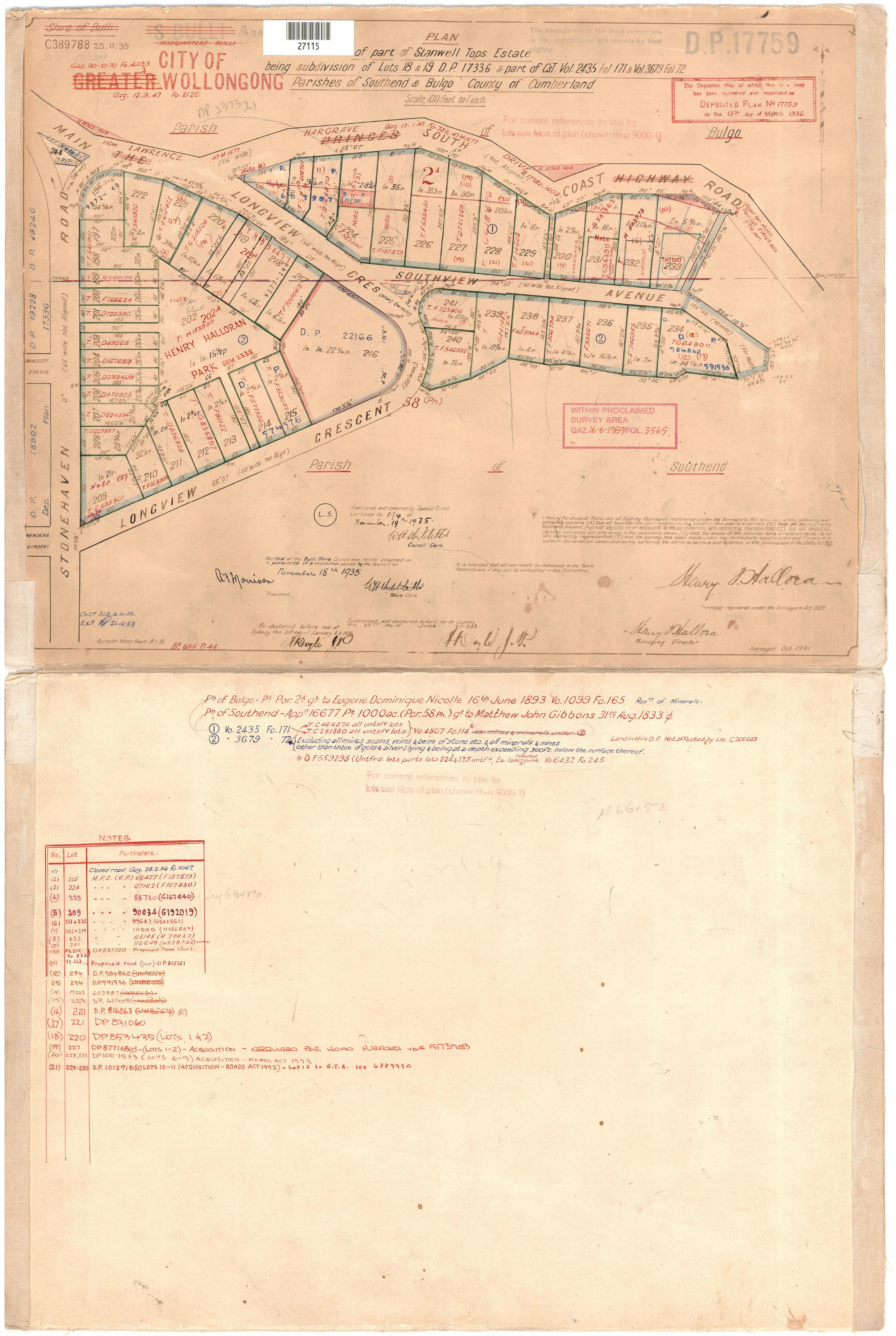
DP 17759 Stanwell Tops Estate |
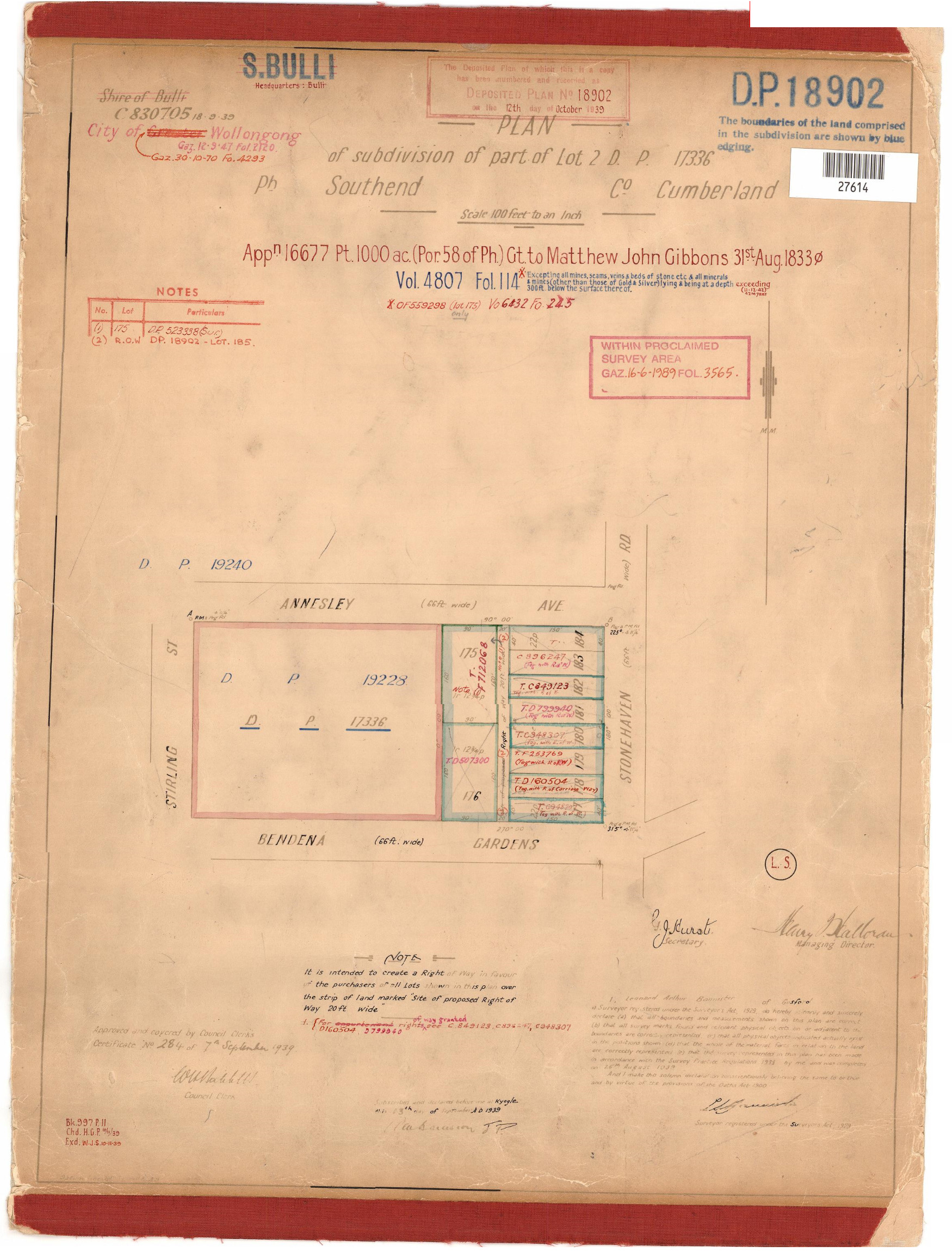
DP 18902 Bendena Gardens Stanwell Tops |
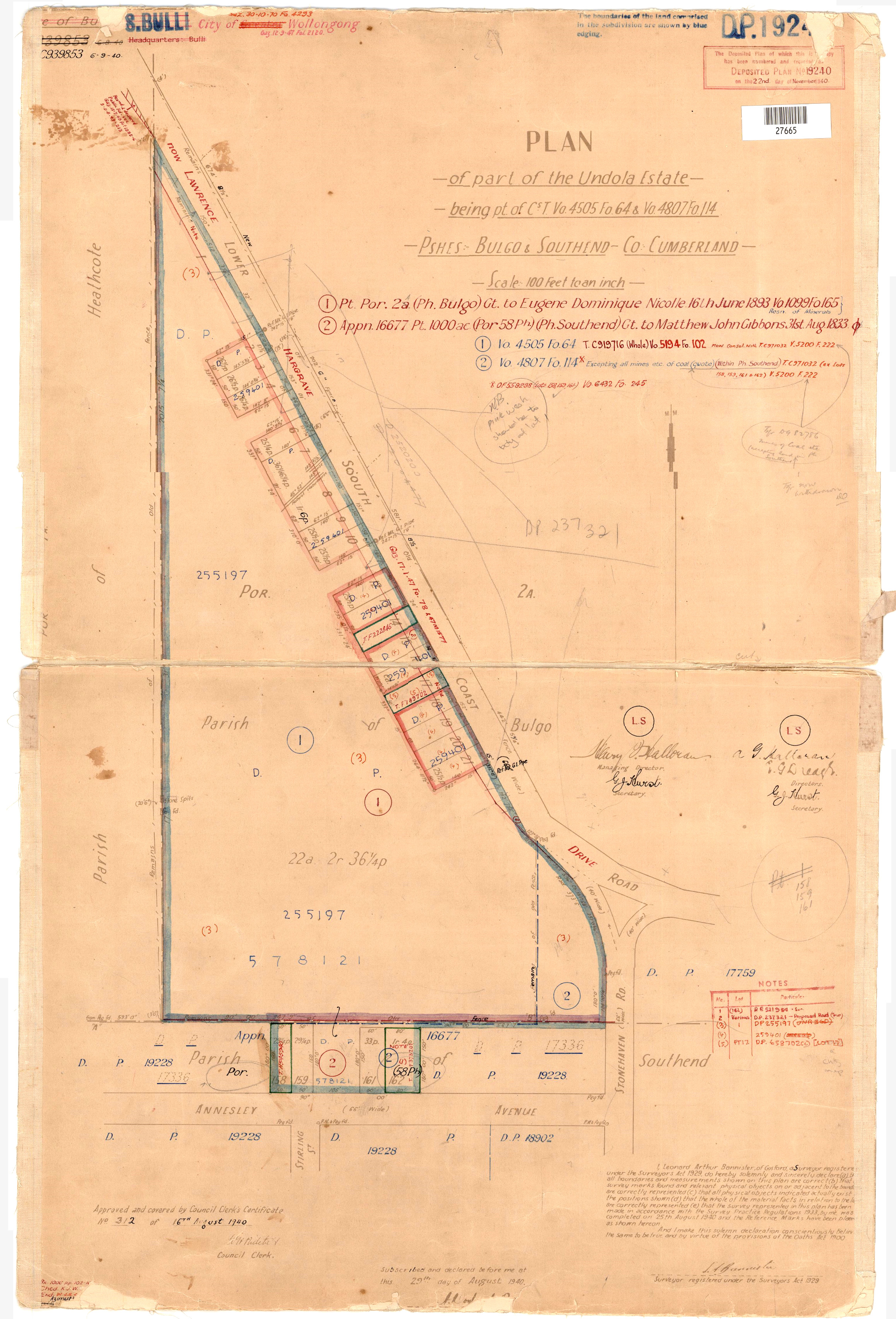
DP 19240 Stanwell Tops Lawrence Hargrave drive
|
DP 19228 Bendena Gardens Stanwell Tops |
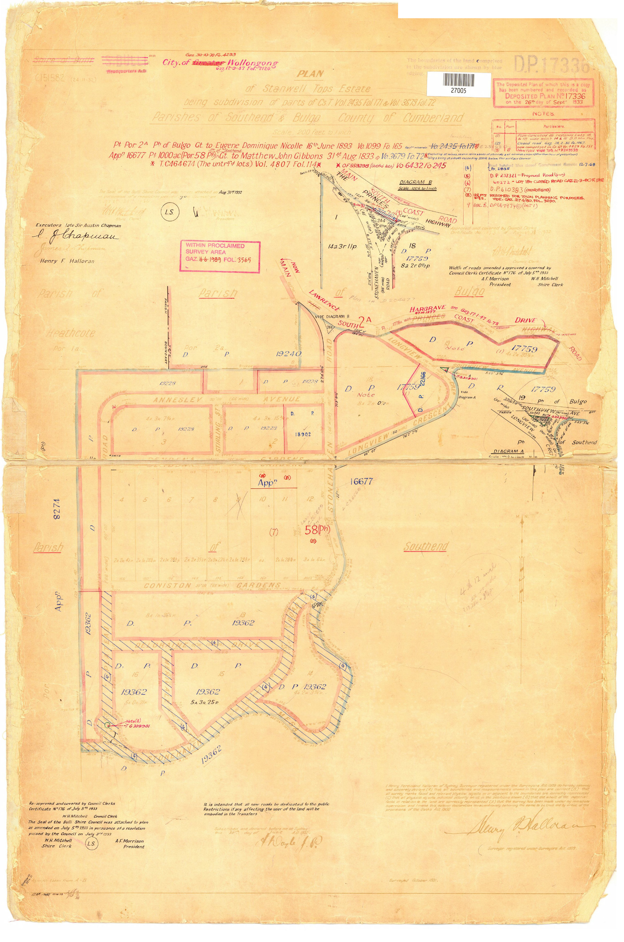
DP 17336 Stanwell Tops Estate Hanging Swamp
|
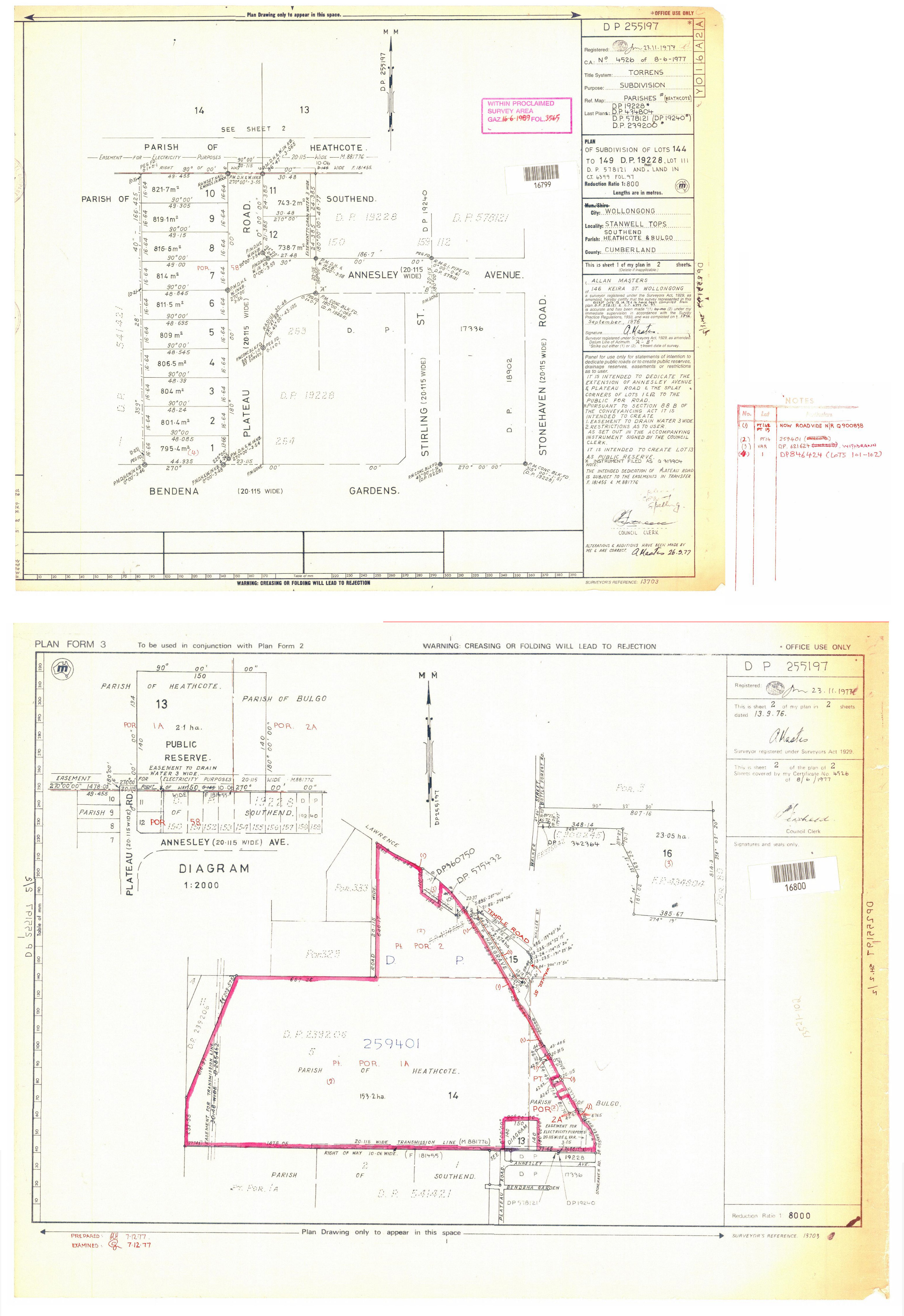
DP255197 StanwellTops
|
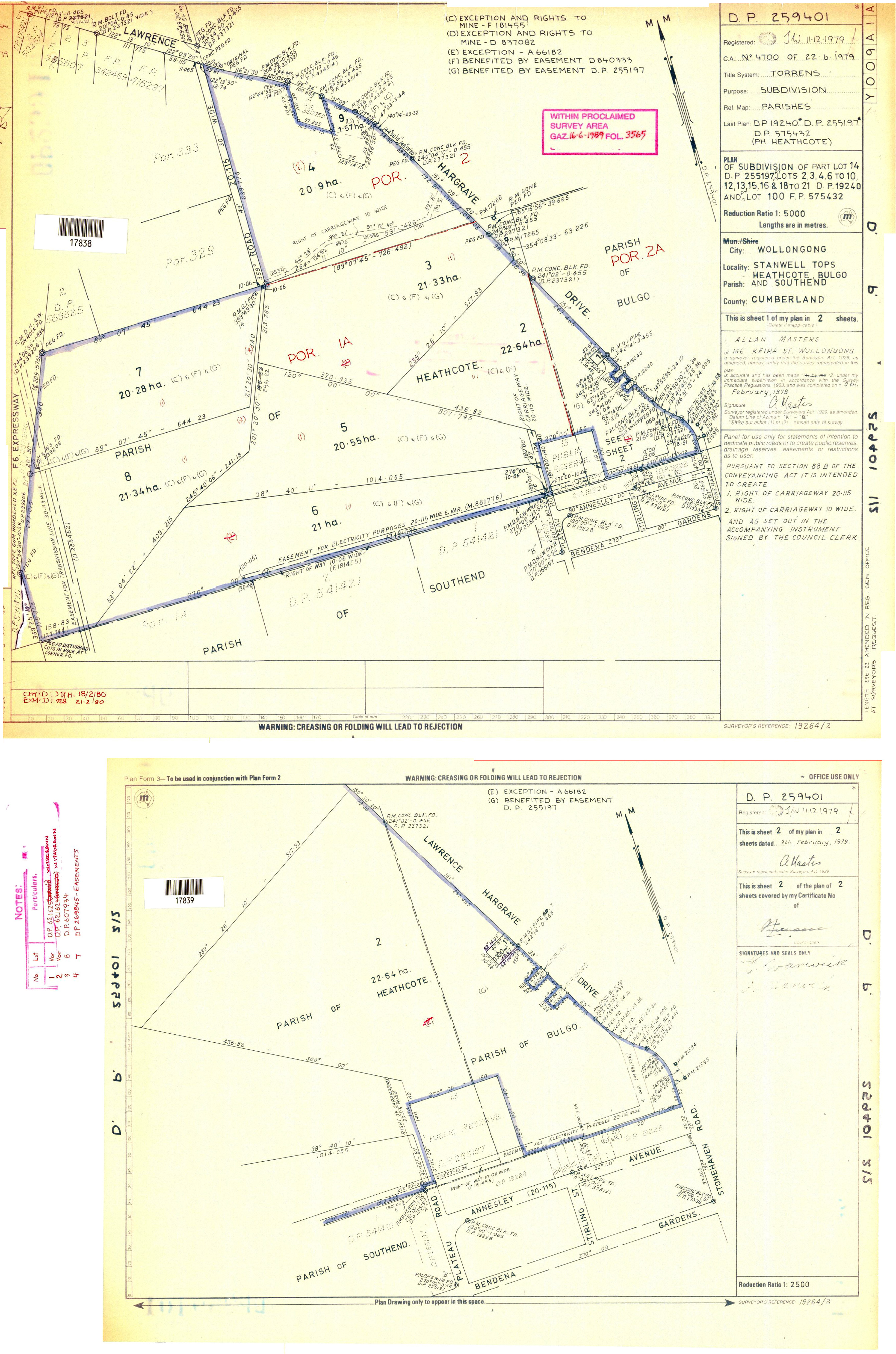
DP259401 Stanwell Tops |
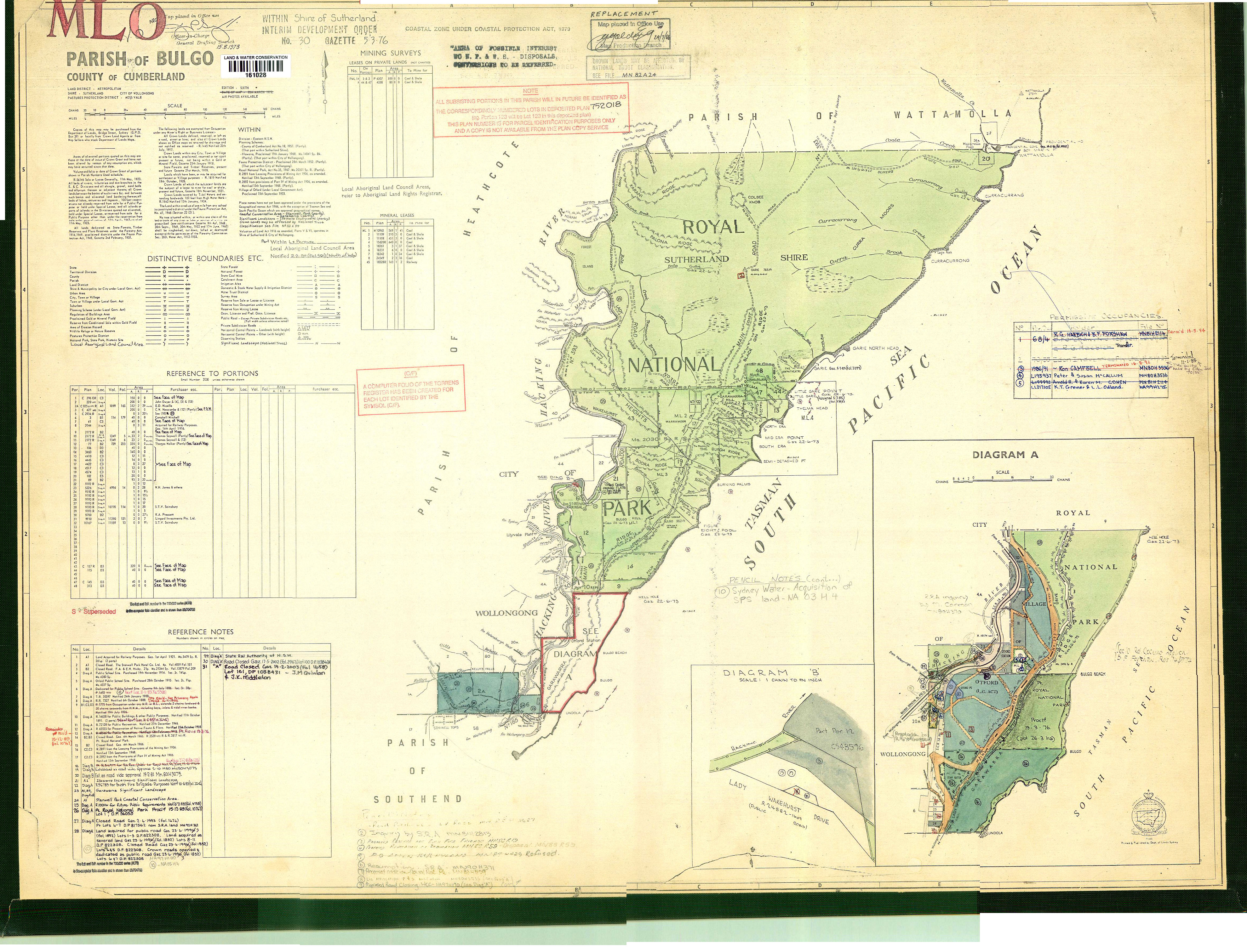
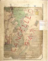
DP752018 Bulgo Parish |
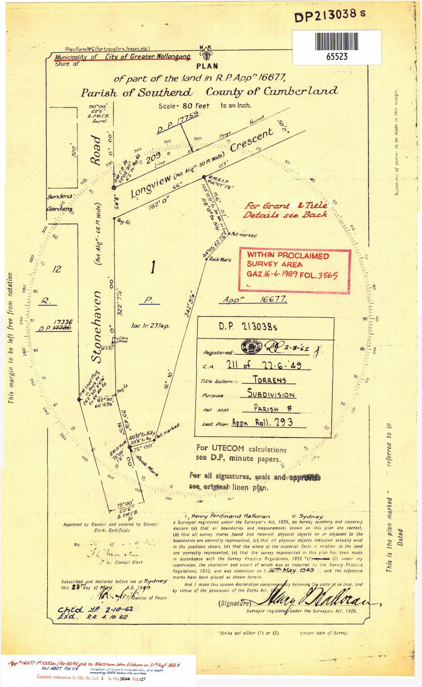
DP 213038 Stonehaven Stanwell Tops |
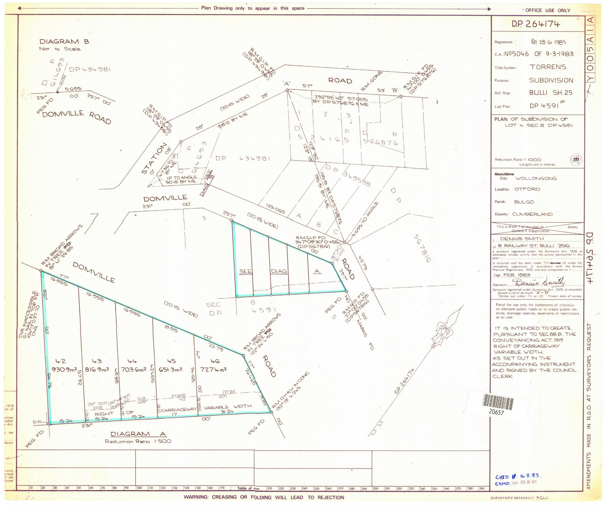
DP 264174 Domville Rds |
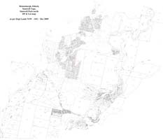
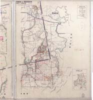
Current DPs & lots map of 2508 |
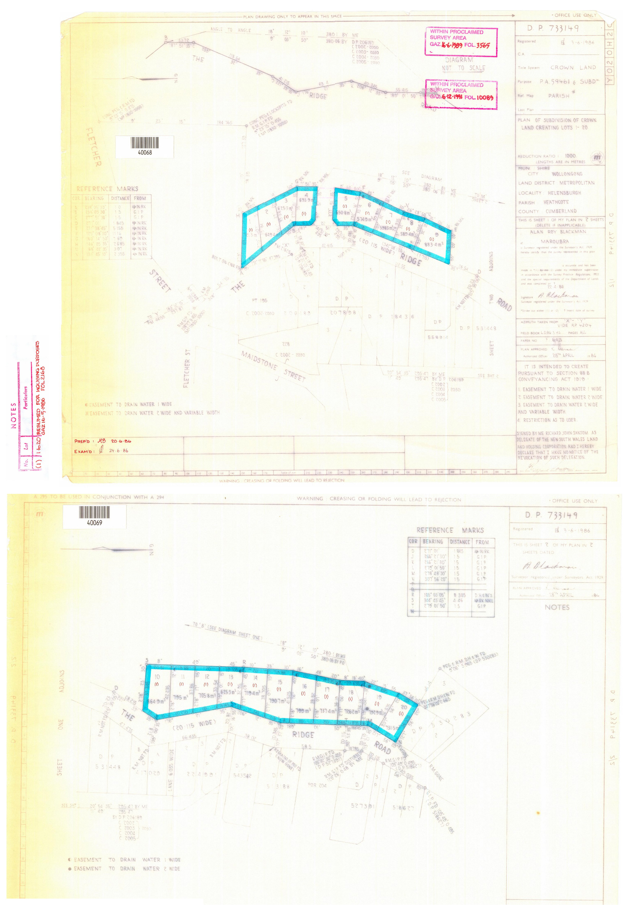
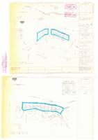
DP 733149 The Ridge
|
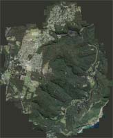
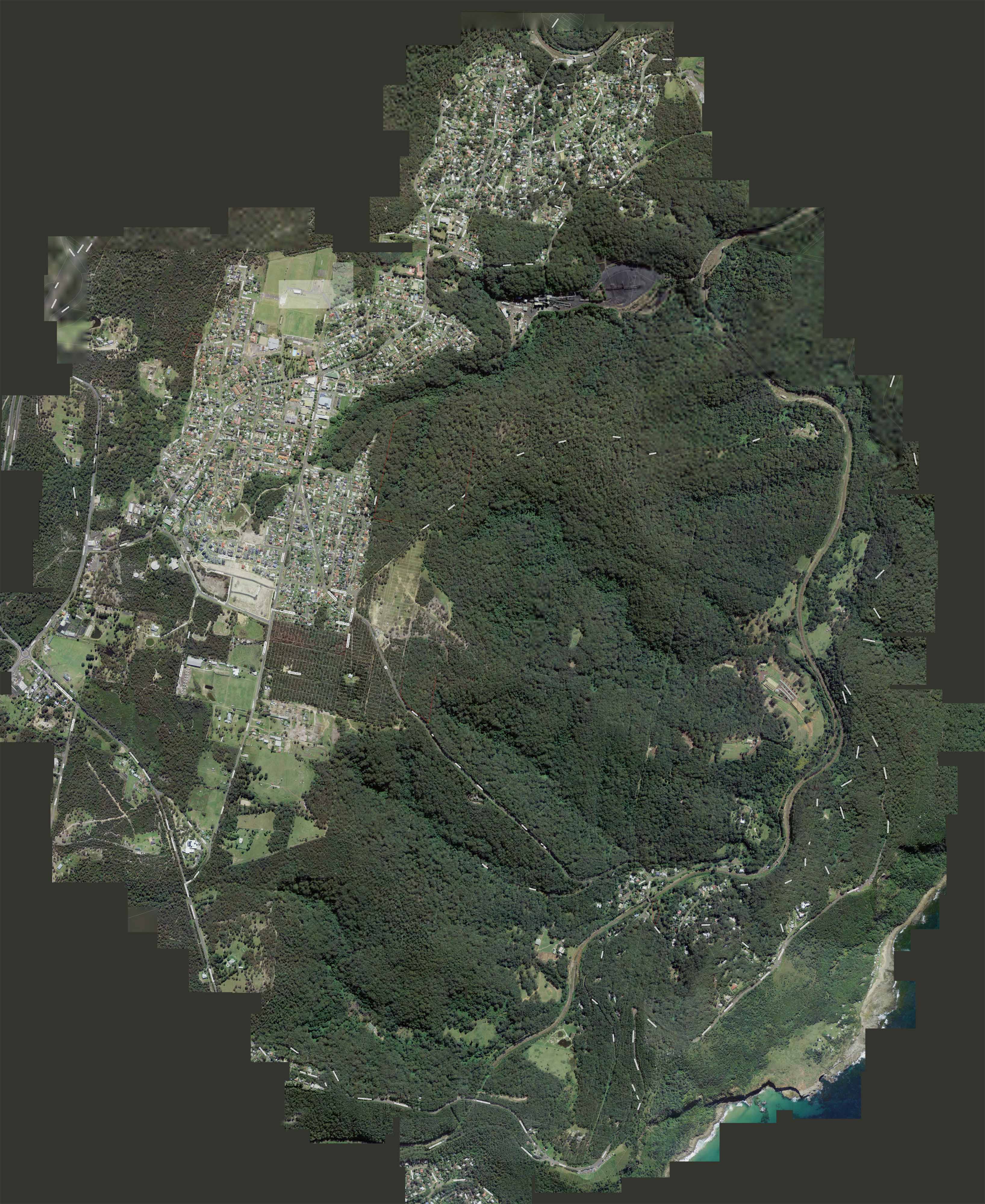
Aerial map of 2508 (though much has been deliberately degraded by panting developers |
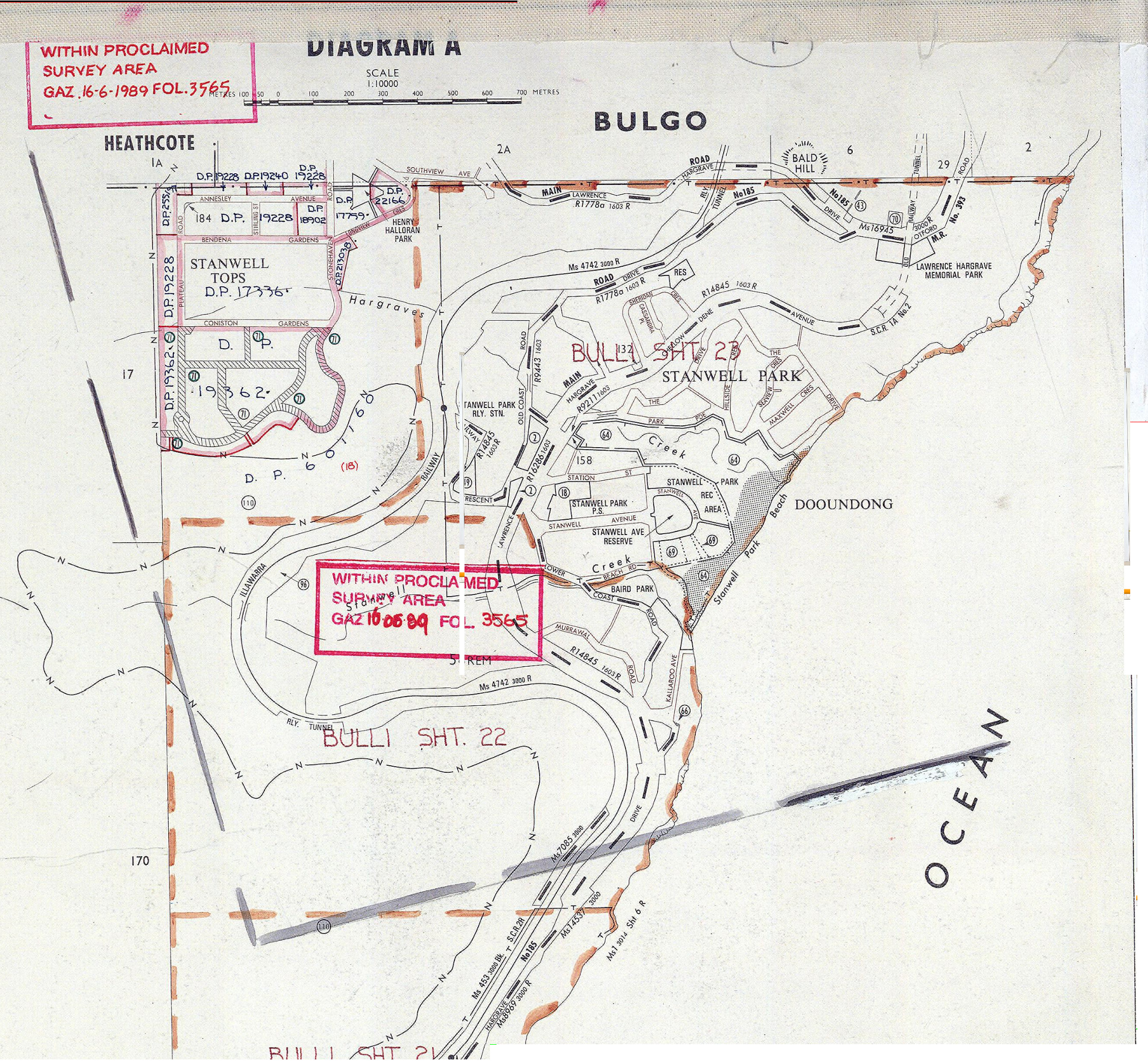
Stanwell Tops - Stanwell Park Hanging Swamps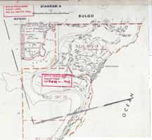
|
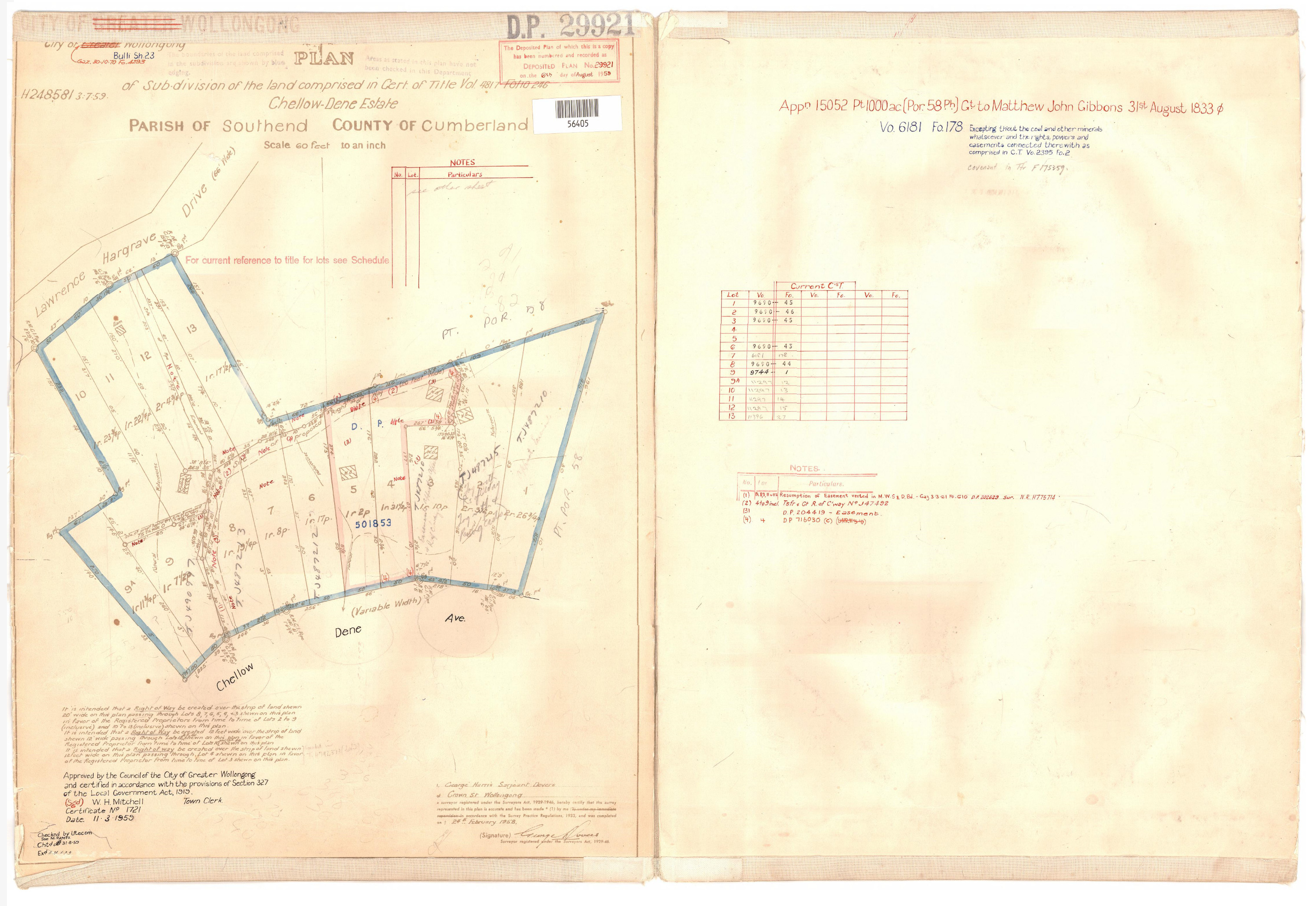
DP 29921 Chellow Dene |
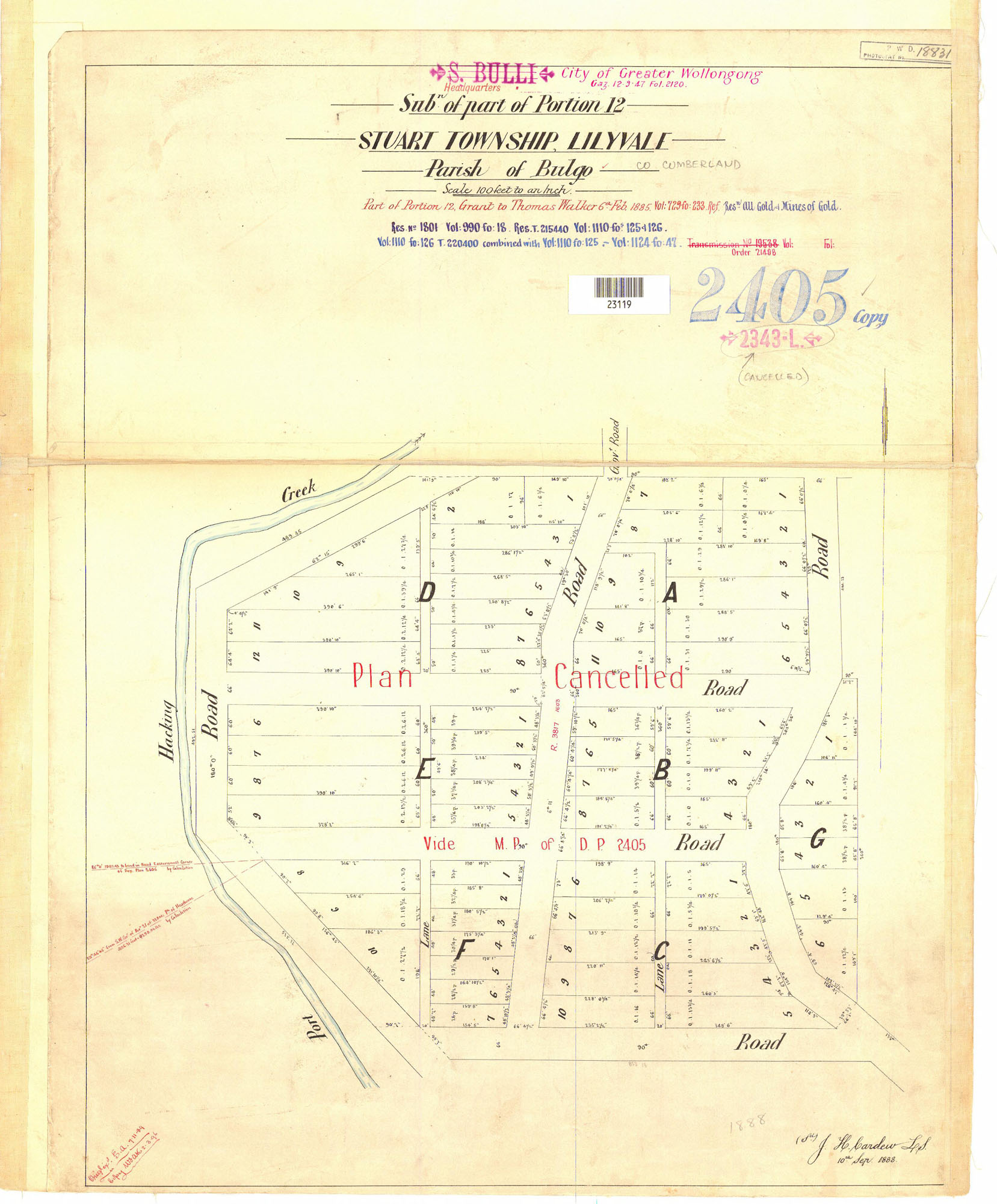
 DP 2405 Stuart Township - Lilyvale DP 2405 Stuart Township - Lilyvale
|

|
|